alb6168090
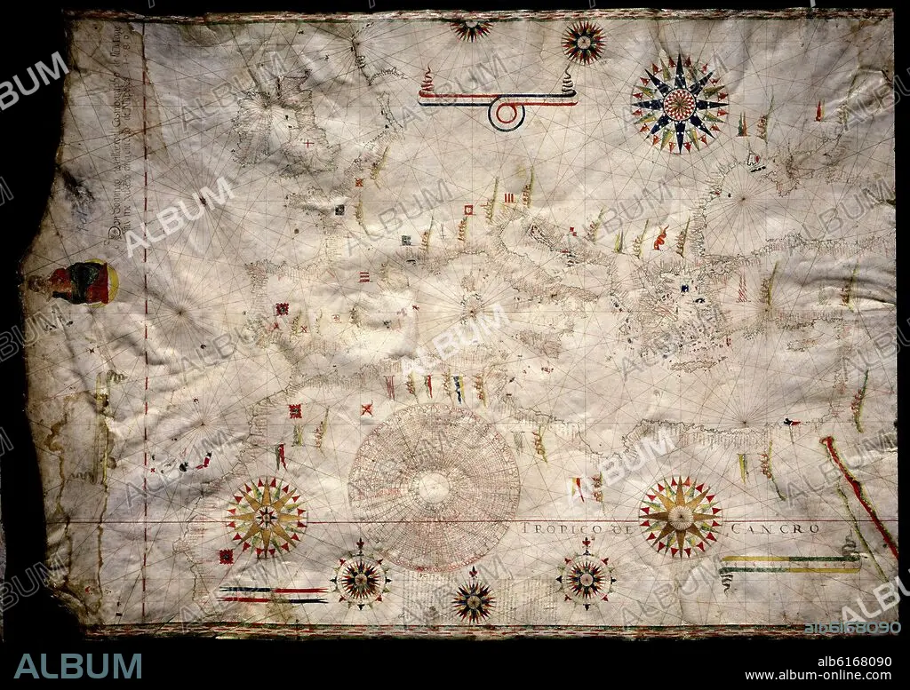
VILLARROEL DOMINGO D. PORTULANO-CARTA NAUTICA DE EUROPA-1580-S XVI CARTOGRAFIA
| Share |
|---|
 Pinterest Pinterest |
 Twitter Twitter |
 Facebook Facebook |
 Copy link Copy link |
 Email Email |
|
Add to another lightbox |
|
Add to another lightbox |


Author:
Caption:
Automatic translation: PORTULANUS-NAUTICAL CHART OF EUROPE-1580-S XVI CARTOGRAPHY
PORTULANO-CARTA NAUTICA DE EUROPA-1580-S XVI CARTOGRAFIA
Location:
Credit:
Album / Oronoz
Releases:
Model: No - Property: No
Rights questions?
Rights questions?
Image size:
5025 x 3555 px | 51.1 MB
Print size:
42.5 x 30.1 cm | 16.8 x 11.8 in (300 dpi)
Keywords:
16 16TH XVI XVITH SIXTEENTH CENTURY • 16 CENTURY • 16TH CENTURY • 16TH • AFRICA • AFRICAN CONTINENT • AFRICAN • ARMY GEOGRAPHICAL SERVICE • ATLANTE • ATLAS (ARCHITECTURE) = ATLANTE • ATLAS (ARCHITECTURE) • ATLAS PORTOLANO • CARTOGRAPHY • COMPASS ROSE • COMPASS • EUROPA • EUROPE • GEOGRAPHIC ATLAS • GREECE • ITALIA • ITALY • MADRID • MAP MAKING • MAP • MAPS • NAUTICAL CHART • PLAN (CARTOGRAPHY) • PORTOLANO THE MEDITERRANEAN • PORTOLANO • SERVICIO GEOGRAFICO DEL EJERCITO • SPAIN • TROPICAL FLOWERS • TROPICAL • VILLARROEL DOMINGO D • WINDROSE
