alb4581575
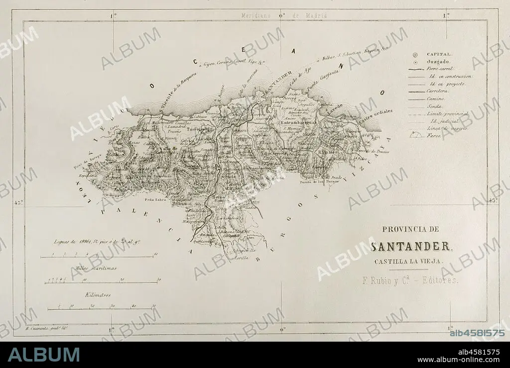
Map of the Santander province, Spain. 19th century. Cr—nica General de Espa–a, Historia Ilustrada y Descriptiva de sus Provincias. Castilla-La Vieja, 1870.
| Share |
|---|
 Pinterest Pinterest |
 Twitter Twitter |
 Facebook Facebook |
 Copy link Copy link |
 Email Email |
|
Add to another lightbox |
|
Add to another lightbox |


Buy this image.
Select the use:

Caption: Map of the Santander province, Spain. 19th century. Cr—nica General de Espa–a, Historia Ilustrada y Descriptiva de sus Provincias. Castilla-La Vieja, 1870.
Credit: Album / Prisma
Releases: ? Model Release: No - ? Property Release: No
Rights questions?
Rights questions?
Image size: 4782 × 3209 px | 43.9 MB
Print size: 40.5 × 27.2 cm | 1882.7 × 1263.4 in (300 dpi)
Keywords: 1833 SPANISH ADMINISTRATIVE ORGANISATION • 1870 • 19 CENTURY • 19TH CENTURY • 19TH CENTURY. • 19TH • 19TH-CENTURY • ANCIENT CARTOGRAPHY • BAY OF BISCAY • CANTABRIA • CANTABRIAN SEA • CANTABRIAN • CARTHOGRAPHY • CARTOGRAPHY • CASTILE • CASTILLA LA VIEJA • CASTILLA • CASTILLA-LA VIEJA • CASTRO URDIALES • CONTEMPORARY AGE • CONTEMPORARY PERIOD • CRONICA GENERAL DE ESPANA • CRONICA GENERAL DE ESPAÑA • ENGRAVED • ENGRAVING (ARTWORK) • ENGRAVING • ENGRAVING. • ENGRAVINGS • ETCHING • EUROPA • EUROPE • EUROPEA • EUROPEAN • EUROPEANS • HISTORIA ILUSTRADA Y DESCRIPTIVA DE SUS PROVINCIAS • HISTORIA UNIVERSAL • HISTORIA • HISTORY • HISTORY. • LAREDO • MAP MAKING • MAP • MAPPING • MAPS • NINETEENTH CENTURY • OLD CASTILE • OLD MAP • PLAN (CARTOGRAPHY) • PLAN • PLANE • POTES • PRINT • PROVINCE OF SANTANDER • PROVINCE • PROVINCIAL • RAMALES • REINOSA • SANTANDER CITY • SANTANDER PROVINCE • SPAIN • SPANISH • TERRITORIAL DIVISION • TERRITORY • TORRELAVEGA • VILLACARRIEDO • XIX CENTURY
