alb9185666
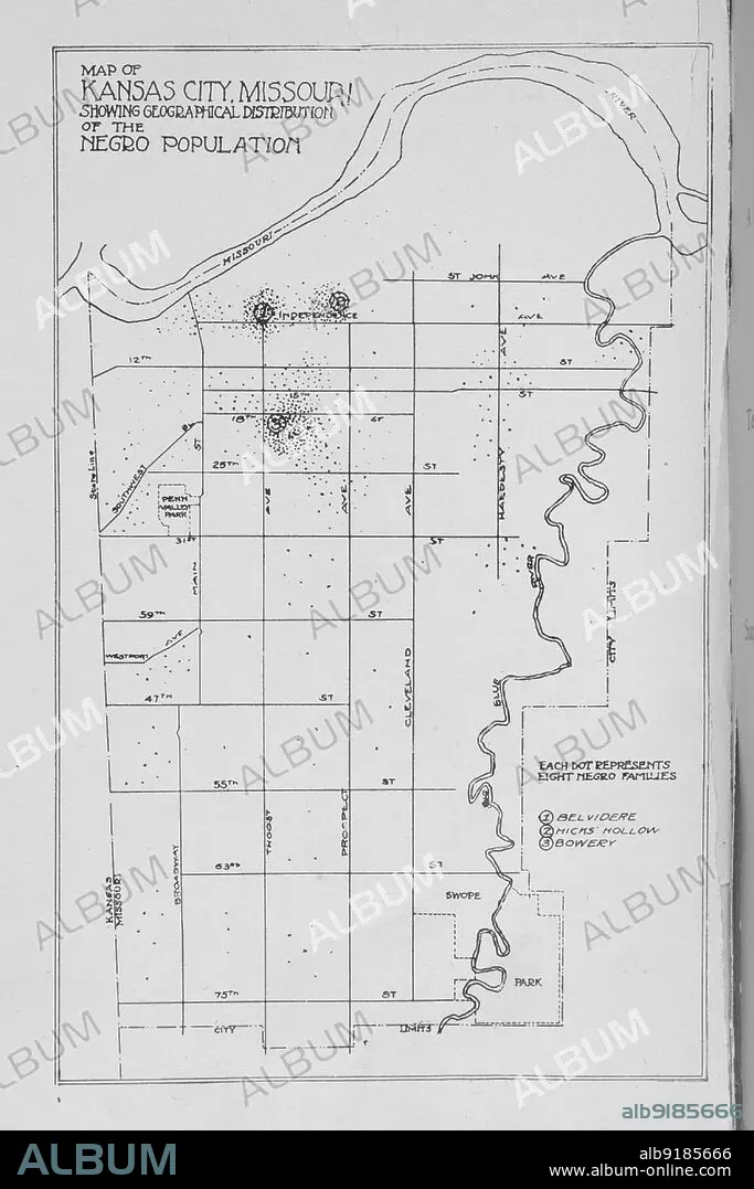
Map of Kansas City, Missouri; Showing geographical distribution on Negro Population, 1913. Creator: Unknown.
| Share |
|---|
 Pinterest Pinterest |
 Twitter Twitter |
 Facebook Facebook |
 Copy link Copy link |
 Email Email |
|
Add to another lightbox |
|
Add to another lightbox |


Buy this image.
Select the use:

Title:
Map of Kansas City, Missouri; Showing geographical distribution on Negro Population, 1913. Creator: Unknown.
Caption:
Map of Kansas City, Missouri; Showing geographical distribution on Negro Population, 1913.
Personalities:
Credit:
Album / Heritage Art/Heritage Images
Releases:
Model: No - Property: No
Rights questions?
Rights questions?
Image size:
3000 x 4500 px | 38.6 MB
Print size:
25.4 x 38.1 cm | 10.0 x 15.0 in (300 dpi)
Keywords:
19 CENTURY • 19TH CENTURY • 19TH CENTURY. • 19TH • 19TH-CENTURY • AFRICAN AMERICAN • AFRICAN-AMERICAN • AFRO-AMERICAN • AMERICA • AMERICAN • ASA EARL MARTIN • ASA EARL • B & W • B / W • B W • B&W • BLACK & WHITE • BLACK AND WHITE • CENTURY • COLOR • COLOUR • COMPANY • CONCEPT • COUNTRY • DEMOGRAPHICS • F HUDSON PUBLISHING COMPANY • F HUDSON PUBLISHING • F. HUDSON PUBLISHING COMPANY • HISTORIC • HISTORICAL • HISTORY • ILLUSTRATION • ILLUSTRATIONS • JEAN BLACKWELL HUTSON DIVISION • KANSAS CITY • LIBRARY • LOCATION • MAP • MARTIN • MISSOURI • NEW YORK PUBLIC LIBRARY • NINETEENTH CENTURY • NYPL • POPULATION • PRINT • PUBLIC LIBRARY • SCHOMBURG CENTER FOR RESEARCH IN BLACK CULTURE • SCHOMBURG CENTER FOR RESEARCH • UNITED STATES OF AMERICA • UNITED STATES • USA • WHITE AND BLACK • XIX CENTURY
