alb4190452
Map of the Waterloo campaign, 1815, Walmer Castle, Kent. Artist: Unknown.
| Share |
|---|
 Pinterest Pinterest |
 Twitter Twitter |
 Facebook Facebook |
 Copy link Copy link |
 Email Email |
|
Add to another lightbox |
|
Add to another lightbox |


Buy this image.
Select the use:

Title: Map of the Waterloo campaign, 1815, Walmer Castle, Kent. Artist: Unknown.
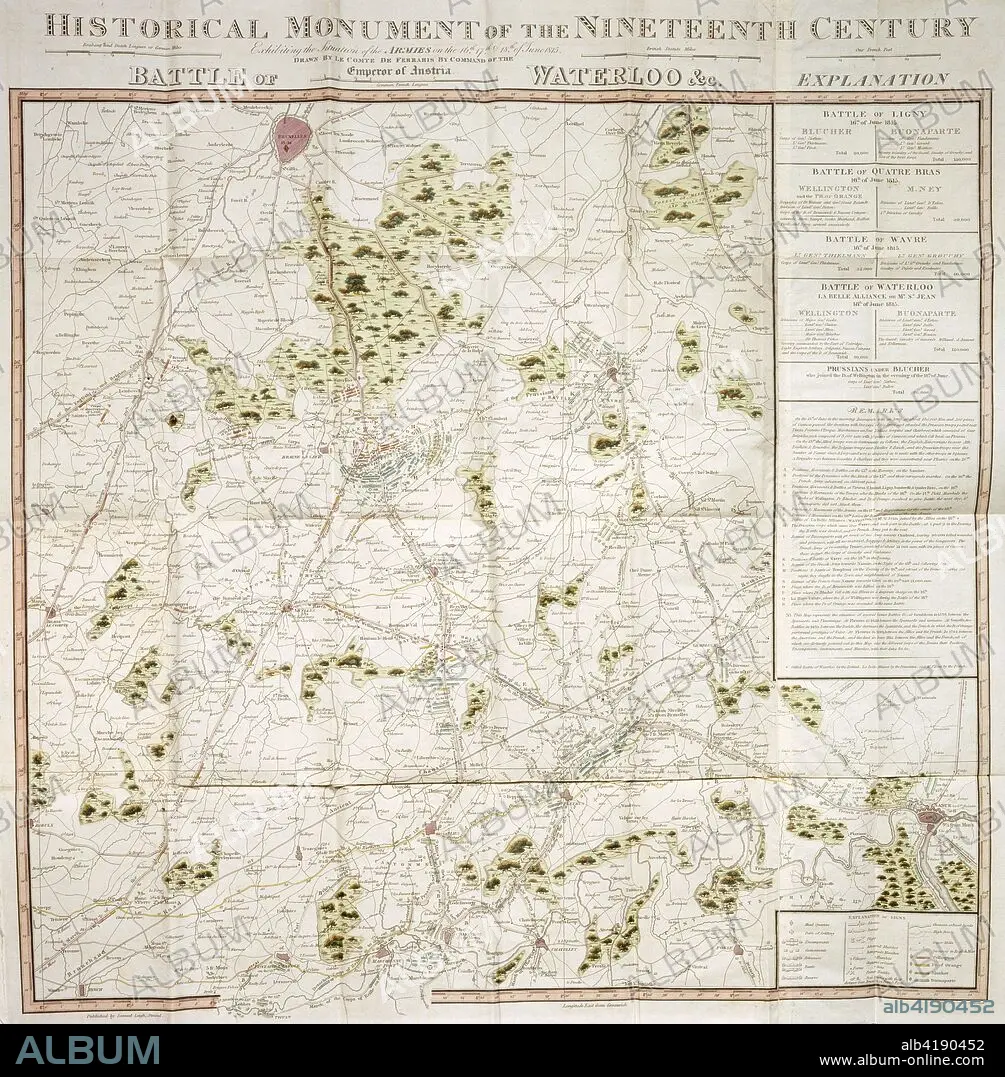
Caption: Map of the Waterloo campaign, 1815, Walmer Castle, Kent. Map Exhibiting the Situation of the Armies on the 16, 17 & 18 of June 1815. The Battle of Ligny, Quatre Bras, Waterloo and Wavre.
Credit: Album / Heritage Images / Historic England Archive
Releases: ? Model Release: No - ? Property Release: No
Rights questions?
Rights questions?
Image size: 3623 × 3691 px | 38.3 MB
Print size: 30.7 × 31.3 cm | 1426.4 × 1453.1 in (300 dpi)
Keywords: 19TH CENTURY • 1ST DUKE OF WELLINGTON • ARMIES ARMY • ARMIES • ARMY'S • ARMY • ARTHUR WELLESLEY • ARTHUR • ARTURO • ARTUS • BATTLE OF LIGNY • BATTLE OF QUATRE BRAS • BATTLE OF WATERLOO • BATTLE OF WATERLOO, THE • BATTLE OF WAVRE • BATTLE • BELGIUM • BONAPARTE • BRITAIN • BRITISH • BUILDING • BUILDINGS • CAMPAIGN • CASTLE • CENTURY • COLOR • COLOUR • CONCEPT • COUNTRY • DUKE OF WELLINGTON • DUKE OF • FLUSH • FORTIFICATION • FRANCE • FRENCH • GUERRA • HUNDRED YEARS WAR • IRON DUKE • IRON DUKE, THE • LOCATION • LORD WELLINGTON • MAP • MILITARY • NAPOLEON BONAPARTE I • NAPOLEONIC WAR • NAPOLEONIC WARS • NINETEENTH CENTURY • PEACE, NAPOLEONIC WARS • PRUSSIA • PRUSSIAN • SIR ARTHUR WELLESLEY • WALMER CASTLE • WAR • WARFARE • WARS • WELLESLEY • WELLINGTON
