alb5283471
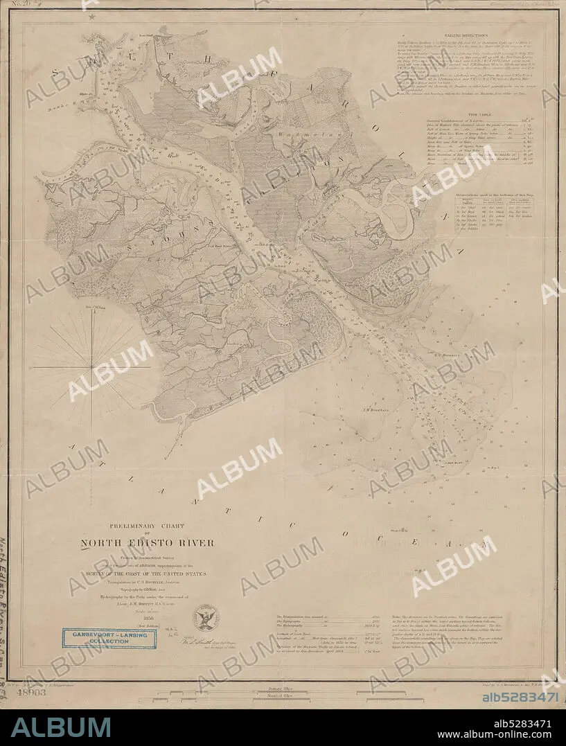
Preliminary chart of North Edisto River , cartographic, Maps, 1856, Bache, A. D. (Alexander Dallas), 1806-1867, Boutelle, C. O. (Charles Otis), Wise, George D. (George Douglas), 1831-1898, Maffitt, John Newland, 1819-1886, Smith, M. L. (Martin Luther), 1819-1866, Mathiot, G., Woodward, E. F., Oehlschlager, T. H., United States Coast Survey.
| Share |
|---|
 Pinterest Pinterest |
 Twitter Twitter |
 Facebook Facebook |
 Copy link Copy link |
 Email Email |
|
Add to another lightbox |
|
Add to another lightbox |


Caption:
Preliminary chart of North Edisto River , cartographic, Maps, 1856, Bache, A. D. (Alexander Dallas), 1806-1867, Boutelle, C. O. (Charles Otis), Wise, George D. (George Douglas), 1831-1898, Maffitt, John Newland, 1819-1886, Smith, M. L. (Martin Luther), 1819-1866, Mathiot, G., Woodward, E. F., Oehlschlager, T. H., United States Coast Survey
Credit:
Album / quintlox
Releases:
Model: No - Property: No
Rights questions?
Rights questions?
Image size:
4789 x 6000 px | 82.2 MB
Print size:
40.5 x 50.8 cm | 16.0 x 20.0 in (300 dpi)
Keywords:
1806-1867 • 1819-1866 • 1819-1886 • 1831-1898 • 1856 • A. D • A. D. • ALEXANDER DALLAS • BACHE • BOUTELLE • C. O. • CARTOGRAPHIC • CHARLES OTIS • E. F. • G. • GEORGE D. • GEORGE DOUGLAS • JOHN NEWLAND • M. L. • MAFFITT • MAP • MAPS • MARTIN LUTHER • MATHIOT • NORTH EDISTO RIVER • OEHLSCHLAGER • PLAN (CARTOGRAPHY) • PRELIMINARY CHART • SMITH • T. H. • UNITED STATES COAST SURVEY • WISE • WOODWARD
