alb5480506
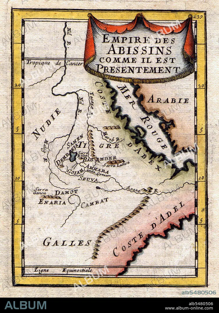
Ethiopia / Sudan / South Sudan: A Map of the Abyssinian Empire,1683
| Share |
|---|
 Pinterest Pinterest |
 Twitter Twitter |
 Facebook Facebook |
 Copy link Copy link |
 Email Email |
|
Add to another lightbox |
|
Add to another lightbox |


Buy this image.
Select the use:

Title: Ethiopia / Sudan / South Sudan: A Map of the Abyssinian Empire,1683
Caption: A French map of the Red Sea and East African Coast dated 1683 and showing parts of Arabia, Nubia, Sudan, South Sudan, Somalia and East Africa.
Credit: Album / Pictures From History/Universal Images Group
Releases: ? Model Release: No - ? Property Release: No
Rights questions?
Rights questions?
Image size: 3600 × 4887 px | 50.3 MB
Print size: 30.5 × 41.4 cm | 1417.3 × 1924.0 in (300 dpi)
Keywords: ABYSSINIA • AFRICA • AFRICAN • CARTOGRAPHY • CHART • ETHIOPIA • HISTORIA UNIVERSAL • HISTORIA • HISTORICAL IMAGES • HISTORICAL PICTURES • HISTORICAL • HISTORY IMAGES • HISTORY PICTURES • HISTORY • HISTORY. • MAP MAKING • MAP • MAPS • NUBIA • PLAN (CARTOGRAPHY) • RED SEA • SOUTH SUDAN • SOUTH SUDANESE • SUDAN • SUDANESE
