alb4309558
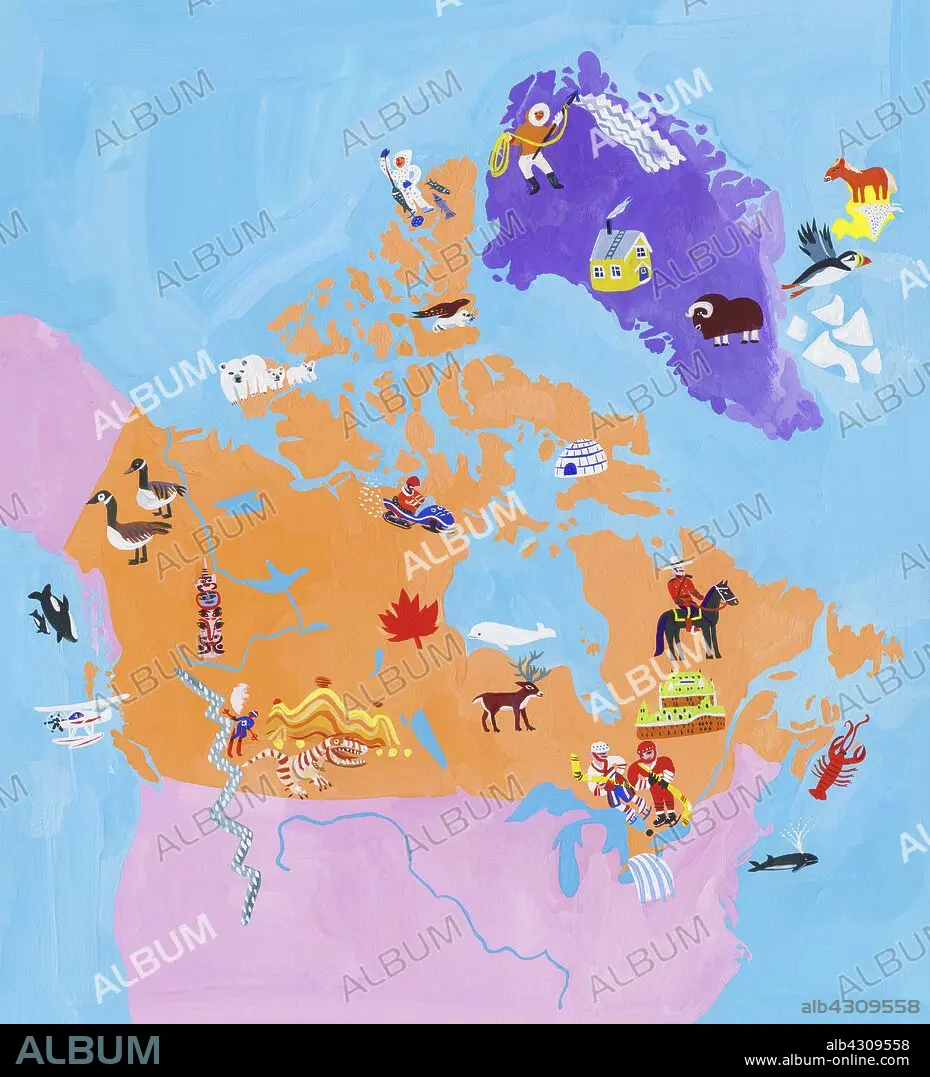
Illustrated map of Canada and Greenland.
| Share |
|---|
 Pinterest Pinterest |
 Twitter Twitter |
 Facebook Facebook |
 Copy link Copy link |
 Email Email |
|
Add to another lightbox |
|
Add to another lightbox |


Buy this image.
Select the use:

Caption:
See automatic translation
Illustrated map of Canada and Greenland
Credit:
Album / Ikon images / Christopher Corr
Releases:
Image size:
4016 x 4421 px | 50.8 MB
Print size:
34.0 x 37.4 cm | 13.4 x 14.7 in (300 dpi)
Keywords:
ABUNDANCE • ABUNDANT • ACRYLIC PAINTING • ACTIVITY • AERIAL PHOTO • AERIAL SHOT • AERIAL VIEW • ANIMAL • ANIMALS IN THE WILD • ASSORTED • ASSORTMENT • BIRD'S-EYE VIEW • BUILDING EXTERIOR • BUILDING • CANADA • CANADIAN • CELEBRITIES • CELEBRITY • COLOR IMAGE • COLOUR IMAGE • CULTURE • DAY • DIVERSE • ELEVATED VIEW • EXTERIOR • FAMOUS PEOPLE • FAMOUS • FLEET • GREENLAND • GREENLAND: GRL • GROUP • HIGH ANGLE VIEW • HIGH ANGLE • HORSE • HUMAN • HUMANE • ILLUSTRATED • ILLUSTRATION • ILLUSTRATIONS • ILUSTRATION • IMAGE • INCIDENTAL PEOPLE • INDIVIDUAL • INUIT CULTURE • JOURNEY • JOURNEYMAN'S TRAVEL • JOURNEYMAN'S TRAVELS • LANDMARK • LARGE GROUP OF ANIMALS • LARGE GROUP • LEISURE • LIFESTYLE • LOTS • MANY • MAP • MARINE • MIXTURE • NATIONAL • NATURE • NAVY • OCEAN • OCEANS • ON THE GO • ON THE MOVE • OUTDOOR • OUTDOORS • OUTSIDE • OVERHEAD • PEOPLE • PERSON • RANGE • SEA • SEA. • SEAS • SELECTION • SKI PLANE • SKIMOBILE • SOMEONE • SPORT • SPORTS • THRIP • TO TRAVEL • TRADITION • TRADITIONAL • TRADITIONS • TRANSPORT • TRANSPORTATION • TRAVEL DESTINATIONS • TRAVEL • TRAVELING • TRAVELLING • TRAVELS • TRIP • TRIPS • TYPE • VARIATION • VARIETY • VARIOUS • VERTICAL LINES • VERTICAL • VIEW FROM ABOVE • VOYAGE • WAY OF LIFE • WILD • WILDERNESS • WILDLIFE
