alb3838875
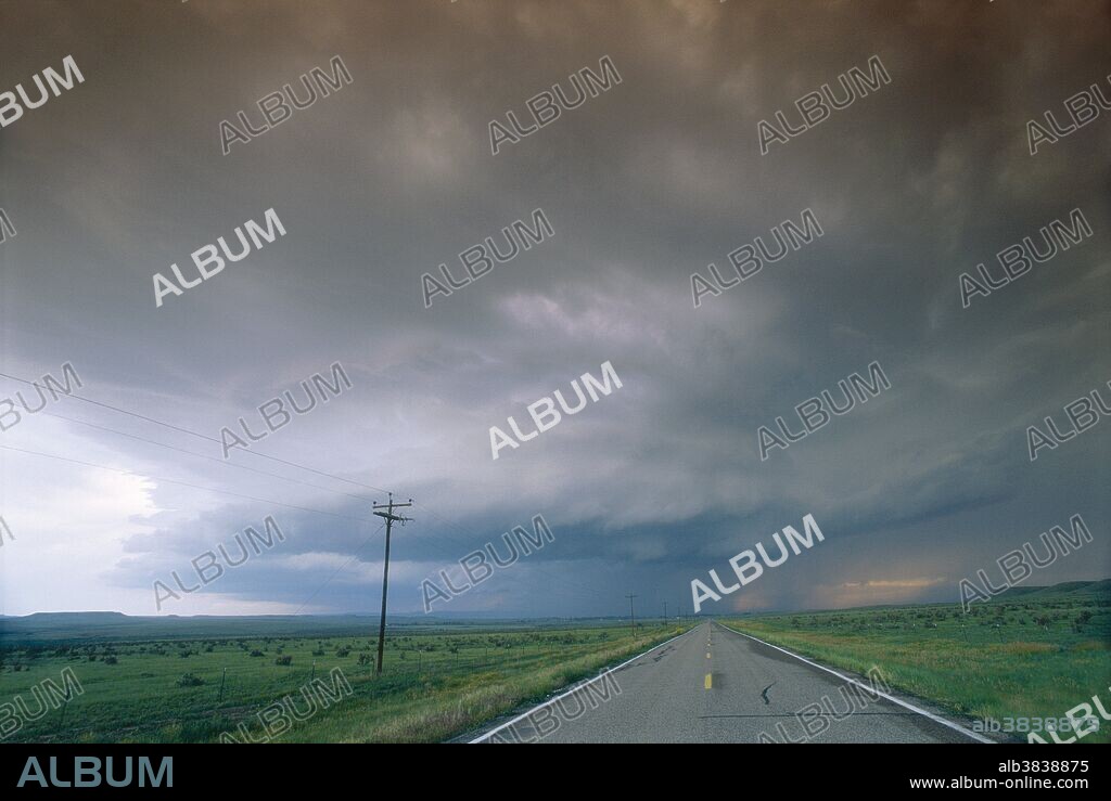
Mesocyclone thunderstorm

|
Add to another lightbox |
|
Add to another lightbox |


Buy this image.
Select the use:

Title:
Mesocyclone thunderstorm
Caption:
Mesocyclone thunderstorm. Tornados develop from these intense thunderstorms that begin to spin because high-level winds are blowing faster and in a different direction to low-level winds. The rotation can be enhanced by the interaction of cold and warm air currents, causing a mesocyclone, which is a powerful air column moving upward at the centre of the storm. From this stage, the spin might intensify and a rotating column of air will break through the wall cloud and hit the ground, forming a tornado. Photographed in Colorado, USA.
Credit:
Album / Science Source / Jim Reed
Copyright:
This image may not be used for commercial purposes such as advertising, or in such a way as to imply endorsement of any product or service. Users must cite the author or source of the content upon publication.
Releases:
Model: No - Property: No
Rights questions?
Rights questions?
Image size:
5251 x 3517 px | 52.8 MB
Print size:
44.5 x 29.8 cm | 17.5 x 11.7 in (300 dpi)
Keywords:
AMERICA • AMERICAN • BAD STORM • CLIMATE • CLOUD • CLOUDS • COLORADO • COLUMN • CONDITIONS • EXTREME • FORMATION • HORIZONTAL • MESOCYCLONE • METEOROLOGICAL_DISASTER • METEOROLOGY • METEOROLOGY • ROTATING • ROTATION • ROTATIONS • SEVERE STORM • STORM • STORMS • TEMPEST • TEMPORAL • TEMPORARY • THUNDERSTORM • TORNADO • UNITED STATES • UPDRAFT • US • USA • WEATHER • WEATHER: STORM • WEATHER: THUNDERSTORM • WHIRLWIND • WIND
 Pinterest
 Twitter
 Facebook
 Copy link
 Email
Email
