alb3194821
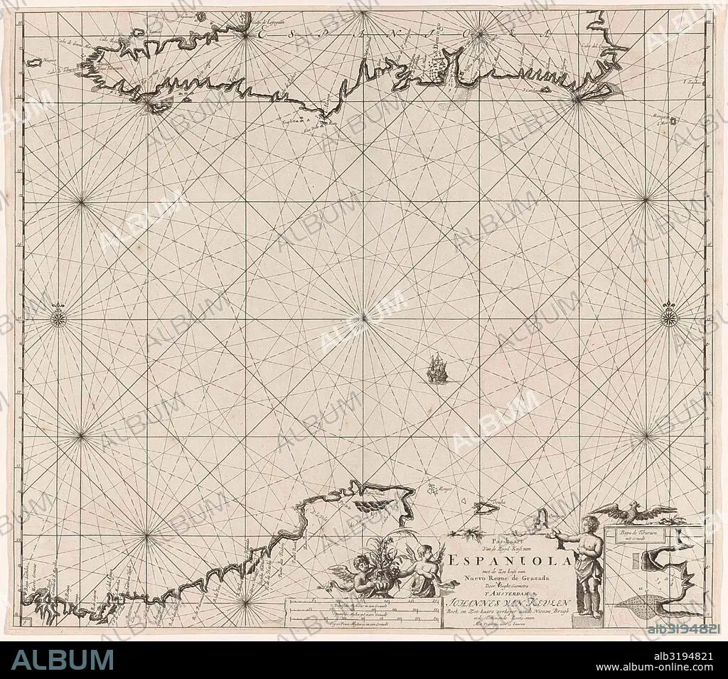
Sea chart of Haiti, the Dominican Republic, Venezuela and Curacao and Aruba.
| Share |
|---|
 Pinterest Pinterest |
 Twitter Twitter |
 Facebook Facebook |
 Copy link Copy link |
 Email Email |
|
Add to another lightbox |
|
Add to another lightbox |


Buy this image.
Select the use:

Caption:
Sea chart of Haiti, the Dominican Republic, Venezuela and Curacao and Aruba
Credit:
Album / quintlox
Releases:
Model: No - Property: No
Rights questions?
Rights questions?
Image size:
4500 x 3965 px | 51.0 MB
Print size:
38.1 x 33.6 cm | 15.0 x 13.2 in (300 dpi)
Keywords:
1684-1799 • ADOLESCENCE • AMORES • AMORETTI • ANGEL • ANGELS • ARUBA • BET • BIRDS • BLOOM • BLOSSOM • BOY • BOYS • CARTOGRAPHY • CHART • CHILD • CHILDHOOD • CHILDREN • CLAES JANSZ VOOGT • COAST • CUPIDS • CURACAO • DECORATED • DOMINICAN REPUBLIC • DOMINICAN • EARTH • FLEET • FLOWER • FLOWERS • FRENCH MILES • GEOGRAPHICAL • GEOGRAPHY • HAITI • HARBOR • HARBOUR • INFANT • JAN LUYKEN • JOHANNES VAN KEULEN (I) • KID • KIDS • LITTLE GIRL • MAP MAKING • MAP • MAPS • MARINE • NAVY • NORDEN • NORTH • NORTHERN • OCEAN • OFFSPRING • PLAN (CARTOGRAPHY) • PORT • PUERTO • PUTTI • REPUBLIC • SAILING-BOAT • SAILING-SHIP • SEA CHART • SEA • SEAS • SOUTH COAST • SOUTH • VENEZUELA • WORLD • YOUTH
