alb9841624
ANON. Map of a part of the head of North Holland, c.1620-c.1699. Creator: Anon.
| Share |
|---|
 Pinterest Pinterest |
 Twitter Twitter |
 Facebook Facebook |
 Copy link Copy link |
 Email Email |
|
Add to another lightbox |
|
Add to another lightbox |


Author:
Title:
Map of a part of the head of North Holland, c.1620-c.1699. Creator: Anon.
Caption:
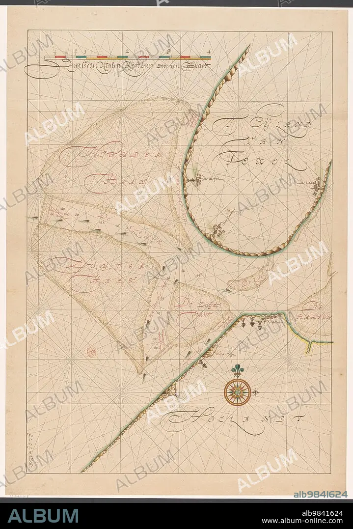
Map of a part of the head of North Holland, southern Texel and the surrounding sandbanks, c.1620-c.1699.
Credit:
Album / Heritage Art/Heritage Images
Releases:
Model: No - Property: No
Rights questions?
Rights questions?
Image size:
4872 x 6940 px | 96.7 MB
Print size:
41.2 x 58.8 cm | 16.2 x 23.1 in (300 dpi)
Keywords:
17TH CENTURY • ANON • ANONYMOUS • ART CENTRE • ART GALLERY • ART • ARTEFACT • ARTIFACT • ARTS • CARTOGRAPHY • CENTURY • COLOR • COLOUR • CONCEPT • CULTURE • DEPICTION • DRAWING • DUTCH • ENGRAVED • ENGRAVING • EUROPE • EXHIBIT • EXHIBITION • GALLERY • HISTORIC • HISTORICAL • HISTORY • ILLUSTRATED • ILLUSTRATION • ILLUSTRATIONS • INK • LOCATION • LOW COUNTRIES • MAP MAKING • MAP • MAP-MAKING • MAPMAKING • MUSEUM • NETHERLANDISH • NETHERLANDS • NOORD-HOLLAND • NORTH HOLLAND • PAPER • PRINT • RIJKSMUSEUM • SAND • SANDBANK • SANDBANKS • SANDS • SANDY • SCENE • SEVENTEENTH CENTURY • TEXEL • WATERCOLOUR (PAINT) • WATERCOLOUR ON PAPER • WATERCOLOUR
