alb5297169
Historical map of the german empire in the year 526 / Landkarte
| Share |
|---|
 Pinterest Pinterest |
 Twitter Twitter |
 Facebook Facebook |
 Copy link Copy link |
 Email Email |
|
Add to another lightbox |
|
Add to another lightbox |


Buy this image.
Select the use:

Title:
Historical map of the german empire in the year 526 / Landkarte
Caption:
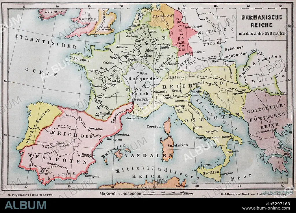
Historical map of the german empire in the year 526 / Landkarte, das germanische Reich um das Jahr 526 n.Chr..
Credit:
Album / Universal Images Group / Bildagentur-online
Releases:
Model: No - Property: No
Rights questions?
Rights questions?
Image size:
4192 x 2800 px | 33.6 MB
Print size:
35.5 x 23.7 cm | 14.0 x 9.3 in (300 dpi)
Keywords:
1F-4891679 • 4891679 • 526 • ATLAS • DAS • EMBLEM • EMPIRE • GEGENSTAENDE • GEGENSTAND • GERMAN • GERMANISCHE • GERMANS • HISTORICAL • IN • JAHR • LANDKARTE • LANDKARTEN • MAP • MAPS • N. CHR. • OF • ORIENTIERUNG • PLAN (CARTOGRAPHY) • PRODUKTFOTO • REICH • ROAD MAP • SIMBOLOS • STRASSENKARTE • SYMBOL • SYMBOLFOTO • SYMBOLISCH • SYMBOLISCHE • SYMBOLISCHER • SYMBOLISCHES • SYMBOLS • THE • UM • YEAR
