alb1473331
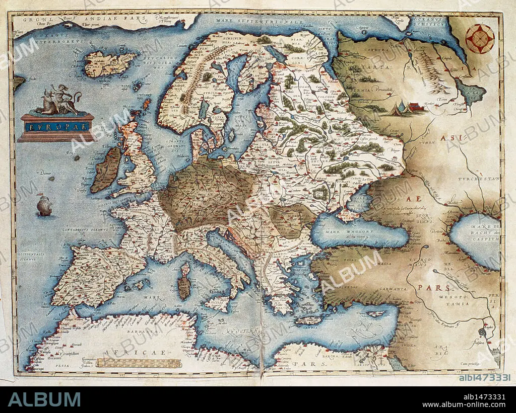
MAPA DE EUROPA. S. XV.
| Share |
|---|
 Pinterest Pinterest |
 Twitter Twitter |
 Facebook Facebook |
 Copy link Copy link |
 Email Email |
|
Add to another lightbox |
|
Add to another lightbox |


Buy this image.
Select the use:

Author:
Caption:
Automatic translation: EUROPE MAP. 15th century
MAPA DE EUROPA. S. XV.
Credit:
Album / Kurwenal / Prisma
Releases:
Image size:
5325 x 3992 px | 60.8 MB
Print size:
45.1 x 33.8 cm | 17.8 x 13.3 in (300 dpi)
Keywords:
15 15TH XV XVTH FIFTEENTH CENTURY • 15TH CENTURY • 15TH CENTURY; • 15TH • ANCIENT CARTOGRAPHY • CARTOGRAPHY • COUNTRIES • EARLY MIDDLE AGES • EPOCA MEDIEVAL • EUROPA • EUROPE • FIFTEENTH CENTURY • HISTORY MAPS • MAP MAKING • MAP • MAPS • MEDIAEVAL • MEDIEVAL • MEDIOEVO • MIDDLE AGE • MIDDLE AGES • MOYEN AGE • PAISES • PLAN (CARTOGRAPHY) • SIGLO XV • XV CENTURY
