alb15427722
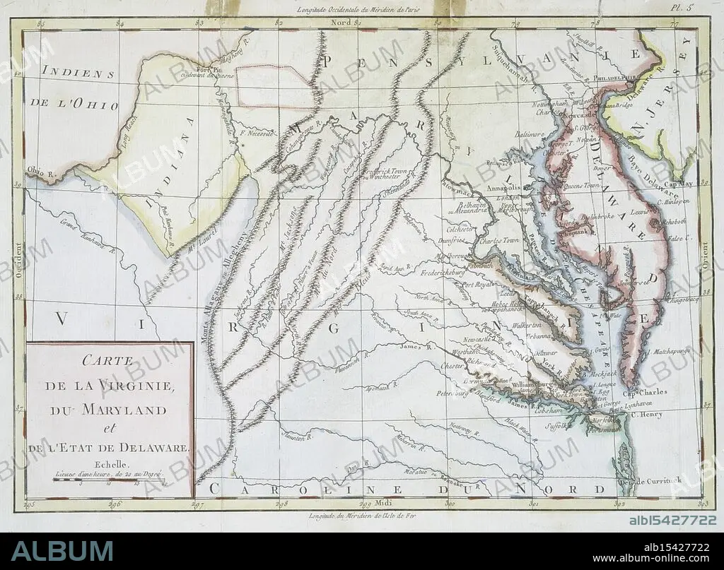
Carte de la Virginie, du Maryland et de l'etat de Delaware., 1782, Date Issued: 1782, (Questionable), Place: Bruxelles :, Publisher: s.n., Delaware, Maps, Early works to 1800, Maryland, Maps, Early works to 1800, Virginia, Maps, Early works to 1800, Extent: 1 map: hand col., 22 x 32 cm., Ancient lands laid bare, Terra firma, ink and pride, History's sweet soil.
| Share |
|---|
 Pinterest Pinterest |
 Twitter Twitter |
 Facebook Facebook |
 Copy link Copy link |
 Email Email |
|
Add to another lightbox |
|
Add to another lightbox |


Buy this image.
Select the use:

Caption:
Carte de la Virginie, du Maryland et de l'etat de Delaware., 1782, Date Issued: 1782, (Questionable), Place: Bruxelles :, Publisher: s.n., Delaware, Maps, Early works to 1800, Maryland, Maps, Early works to 1800, Virginia, Maps, Early works to 1800, Extent: 1 map: hand col., 22 x 32 cm., Ancient lands laid bare, Terra firma, ink and pride, History's sweet soil.
Credit:
Album / quintlox
Releases:
Image size:
4140 x 3049 px | 36.1 MB
Print size:
35.1 x 25.8 cm | 13.8 x 10.2 in (300 dpi)
Keywords:
1 MAP • 1782 • 1800'S • 1800 • BRUXELLES • CARTE DE LA VIRGINIE • DATE ISSUED • DELAWARE • DU MARYLAND ET DE L'ETAT DE DELAWARE • EARLY WORKS • EXTENT • HAND COL • MAP • MAPS • MARYLAND • PLACE • PLAN (CARTOGRAPHY) • PUBLISHER • QUESTIONABLE • S. N • VIRGINIA
