alb5283704
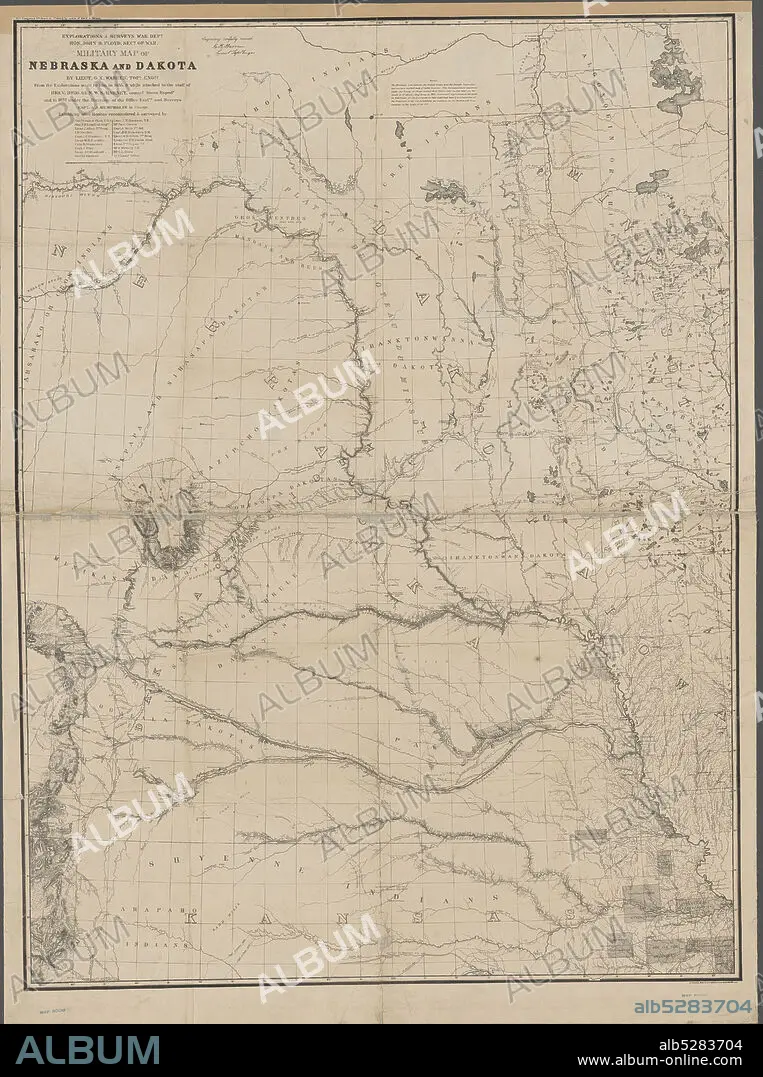
Military map of Nebraska and Dakota , cartographic, Maps, 1857, Warren, G. K. (Gouverneur Kemble), 1830-1882, Floyd, John B. (John Buchanan), 1806-1863, Harney, William S. (William Selby), 1800-1889, Humphreys, A. A. (Andrew Atkinson), 1810-1883, Lewis, Meriwether, 1774-1809, Clark, William, 1770-1838, Peters, N. (Norris).
| Share |
|---|
 Pinterest Pinterest |
 Twitter Twitter |
 Facebook Facebook |
 Copy link Copy link |
 Email Email |
|
Add to another lightbox |
|
Add to another lightbox |


Buy this image.
Select the use:

Caption:
Military map of Nebraska and Dakota , cartographic, Maps, 1857, Warren, G. K. (Gouverneur Kemble), 1830-1882, Floyd, John B. (John Buchanan), 1806-1863, Harney, William S. (William Selby), 1800-1889, Humphreys, A. A. (Andrew Atkinson), 1810-1883, Lewis, Meriwether, 1774-1809, Clark, William, 1770-1838, Peters, N. (Norris)
Personalities:
Credit:
Album / quintlox
Releases:
Model: No - Property: No
Rights questions?
Rights questions?
Image size:
4473 x 6000 px | 76.8 MB
Print size:
37.9 x 50.8 cm | 14.9 x 20.0 in (300 dpi)
Keywords:
1770-1838 • 1774-1809 • 1800-1889 • 1806-1863 • 1810-1883 • 1830-1882 • 1857 • A. A. • ANDREW ATKINSON • CARTOGRAPHIC • CLARK • DAKOTA • FLOYD • G. K. • GOUVERNEUR KEMBLE • HARNEY • HUMPHREYS • JOHN B. • JOHN BUCHANAN • LEWIS • MAP • MAPS • MERIWETHER • MILITARY MAP • N. • NEBRASKA • NORRIS • PETERS • PLAN (CARTOGRAPHY) • WARREN • WILLIAM S. • WILLIAM SELBY • WILLIAM
