alb5583476
Map / Canary Islands / c. 1900 / Postcard
| Share |
|---|
 Pinterest Pinterest |
 Twitter Twitter |
 Facebook Facebook |
 Copy link Copy link |
 Email Email |
|
Add to another lightbox |
|
Add to another lightbox |


Buy this image.
Select the use:

Title: Map / Canary Islands / c. 1900 / Postcard
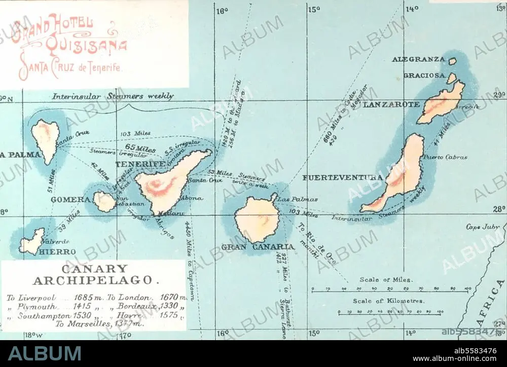
Caption: Canary Islands. (Spanish islands off the north-west coast of Africa). Map of the Canary Islands. Photo postcard, c. 1900.
Location: CANARY ISLANDS
Credit: Album / akg-images
Releases: ? Model Release: No - ? Property Release: No
Rights questions?
Rights questions?
Image size: 3364 × 2257 px | 21.7 MB
Print size: 28.5 × 19.1 cm | 1324.4 × 888.6 in (300 dpi)
Keywords: 19 CENTURY • 19TH CENTURY • 19TH CENTURY. • 19TH • 19TH-CENTURY • 2ND MILLENNIUM A. D. • CANARY ISLANDS • GEOGRAFIA • GEOGRAPHY • MAP • MAPS • NINETEENTH CENTURY • PLAN (CARTOGRAPHY) • TOPOGRAPHY • XIX CENTURY
