alb6161591
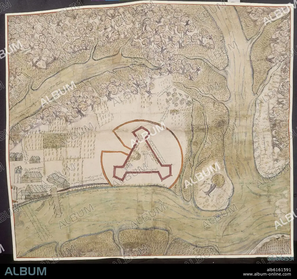
MAPA-PUEBLO Y FUERTE DE SAN AGUSTIN-FLORIDA-1595-CARTOGRAFIA SIGLO XVI
| Share |
|---|
 Pinterest Pinterest |
 Twitter Twitter |
 Facebook Facebook |
 Copy link Copy link |
 Email Email |
|
Add to another lightbox |
|
Add to another lightbox |


Buy this image.
Select the use:

Caption:
Automatic translation: MAP-TOWN AND FORT OF SAN AGUSTIN-FLORIDA-1595-16TH CENTURY CARTOGRAPHY
MAPA-PUEBLO Y FUERTE DE SAN AGUSTIN-FLORIDA-1595-CARTOGRAFIA SIGLO XVI
Location:
Credit:
Album / Oronoz
Releases:
Image size:
4069 x 3619 px | 42.1 MB
Print size:
34.5 x 30.6 cm | 13.6 x 12.1 in (300 dpi)
Keywords:
16 16TH XVI XVITH SIXTEENTH CENTURY • 16 CENTURY • 16TH CENTURY • 16TH • ARCHIVO GENERAL DE INDIAS • AUGUSTINE OF HIPPO • AUGUSTINUS, CHURCHFATHER • BISHOP SAINT AUGUSTINE • CARTOGRAPHY • CHURCHFATHER AUGUSTINUS • FLORIDA • FORT OF ST. AUGUSTINE • FORT • HISPANOAMERICA • INDIAN-FILE MAPS AND PLANS • MAP MAKING • PLAN • RUGGED • SAINT AUGUSTINE • SAINT AUGUSTINE, BISHOP • SAN AGUSTIN • SEVILLA • SEVILLE • SHARP • SPAIN • ST. AUGUSTINE • STRONG • TOWN • XVI CENTURY
