alb2014175
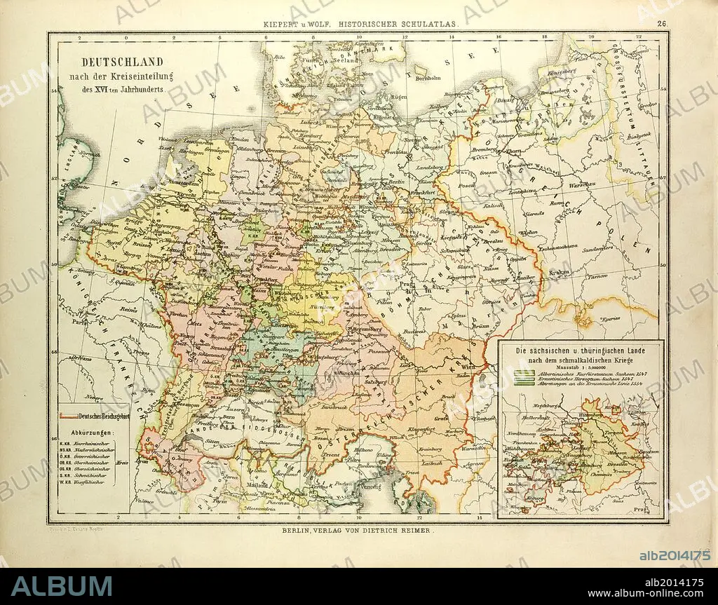
MAP OF GERMANY IN THE 16TH CENTURY.
| Share |
|---|
 Pinterest Pinterest |
 Twitter Twitter |
 Facebook Facebook |
 Copy link Copy link |
 Email Email |
|
Add to another lightbox |
|
Add to another lightbox |


Buy this image.
Select the use:

Caption:
MAP OF GERMANY IN THE 16TH CENTURY
Credit:
Album / quintlox
Releases:
Image size:
4777 x 3778 px | 51.6 MB
Print size:
40.4 x 32.0 cm | 15.9 x 12.6 in (300 dpi)
Keywords:
