alb3861493
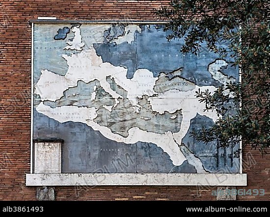
Panel with historical map, the Roman Empire at its greatest extent, Via dei Fori Imperiali, boulevard of the fascists, Rome, Lazio, Italy, Europe.
| Share |
|---|
 Pinterest Pinterest |
 Twitter Twitter |
 Facebook Facebook |
 Copy link Copy link |
 Email Email |
|
Add to another lightbox |
|
Add to another lightbox |


Buy this image.
Select the use:

Caption:
Panel with historical map, the Roman Empire at its greatest extent, Via dei Fori Imperiali, boulevard of the fascists, Rome, Lazio, Italy, Europe
Credit:
Album / ImageBroker / hwo
Releases:
Model: No - Property: No
Rights questions?
Rights questions?
Image size:
600 x 448 px | 787.5 KB
Print size:
5.1 x 3.8 cm | 2.0 x 1.5 in (300 dpi)
Keywords:
ANCIENT CIVILIZATION • ANCIENT CIVILIZATIONS • ANCIENT ROME • ANCIENT WORLD • ANTIQUITY • BIG • BOARD • BOARDS • CARD • CARDBOARD • CARDS • CHARTS • COUNTRIES • COUNTRY • DAY • DAYLIGHT • DAYTIME • EUROPE • FULL LENGTH • FULL-LENGTH • FULL-LENGTHS • GEOGRAPHIC • GEOGRAPHICAL • GEOGRAPHY • HISTORY • HOUSE WALL • HOUSE WALLS • LARGE • MAP • MAPS • NO ONE • NO PEOPLE • NO-ONE • NOBODY • OLD • ROMAN CIVILIZATION • ROMAN • SIZE • SIZES • WALL • WALLS • WITHOUT PEOPLE
