alb5477870
Thailand: Mangroves in the Tha Pom swamp and forest, Krabi Coast
| Share |
|---|
 Pinterest Pinterest |
 Twitter Twitter |
 Facebook Facebook |
 Copy link Copy link |
 Email Email |
|
Add to another lightbox |
|
Add to another lightbox |


Title:
Thailand: Mangroves in the Tha Pom swamp and forest, Krabi Coast
Caption:
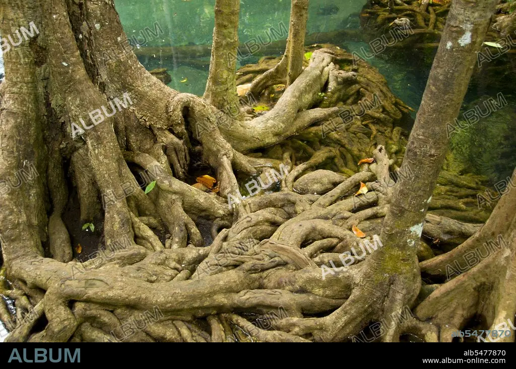
Tha Pom (full name in Thai is Pa Phru Tha Pom Khlong Song Nam) is a peat swamp and forest running mostly from a pool called Chong Phra Kaew along a natural waterway. Local people call this waterway Khlong Song Nam or ‘two types of water canal’, because clear freshwater meets and merges with seawater at high tide, resulting in a natural environment where Lumphi palms (Eleiodoxa conferta) meet and mingle with mangrove forest. Krabi Province is made up of more than 5,000 sq km of jungle-covered hills and sharp, jagged karst outcrops, as well as more than 100km of luxuriant, pristine coastline and around 200 islands in the neighbouring Andaman Sea. About 40 per cent of the provincial population is Muslim, the remainder being predominantly Buddhist. This is a clear indication that Krabi sits astride the invisible dividing line between Buddhist Thailand and the four southern provinces—Satun, Narathiwat, Yala and Pattani—which are predominantly Muslim. Far from causing any sort of problem, this adds immensely to the cultural width and diversity of the province, blending mosques with temples, Malay cooking traditions with Thai cuisine, and giving the province a pleasantly relaxed multi-cultural feel.
Credit:
Album / Pictures From History/Universal Images Group
Releases:
Model: No - Property: No
Rights questions?
Rights questions?
Image size:
5100 x 3388 px | 49.4 MB
Print size:
43.2 x 28.7 cm | 17.0 x 11.3 in (300 dpi)
Keywords:
ASIA IMAGES • ASIA PICTURES • ASIA • ASIAN IMAGES • ASIAN PICTURES • ASIAN • DAVID HENLEY • FLORA • FOREST • KRABI COAST • KRABI PROVINCE • KRABI • LANDSCAPE • MANGROVE • MANGROVES • SWAMP • THA POM • THAI • THAILAND • WOODLAND
