alb2144292
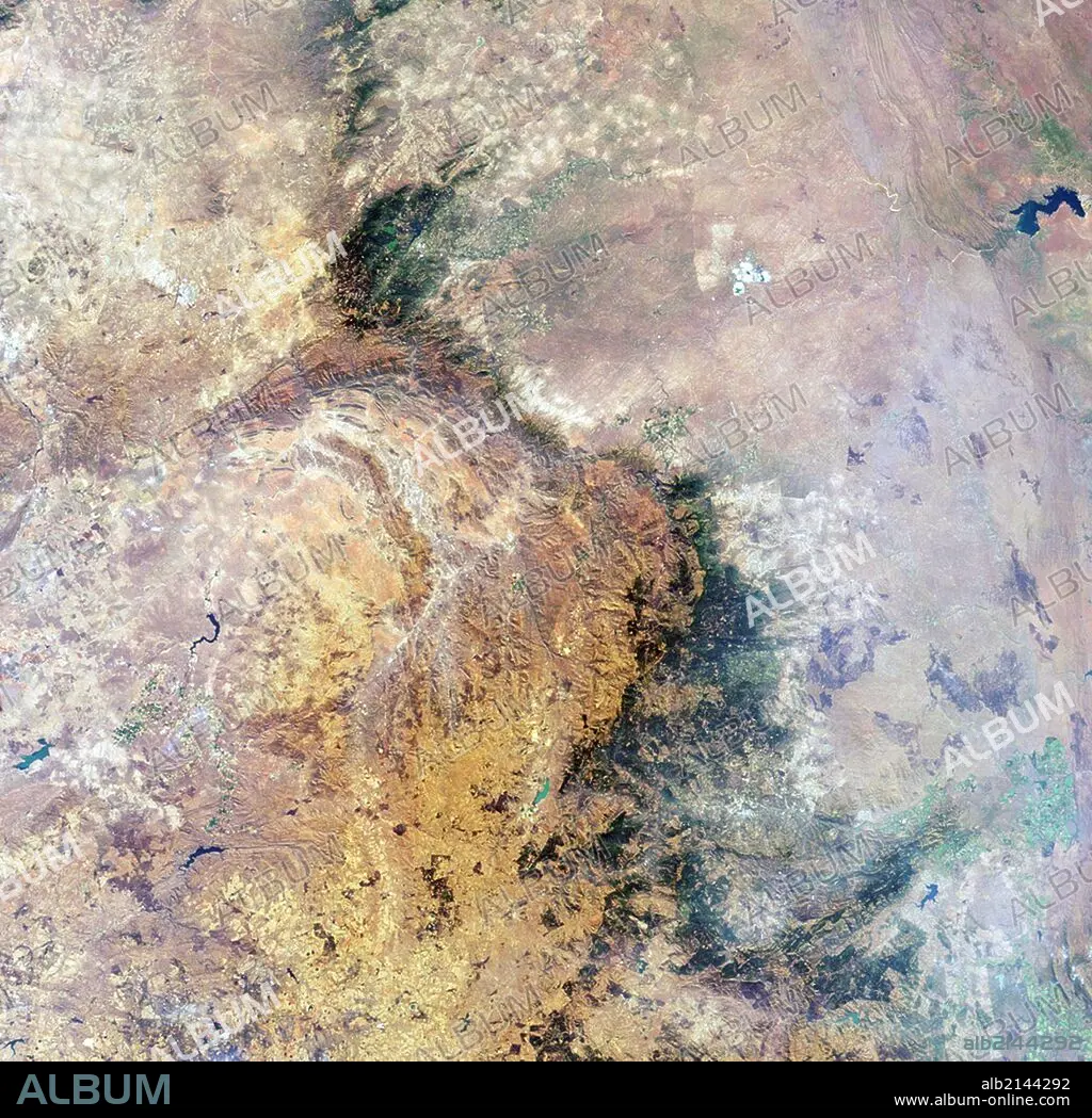
Image is a nadir camera view of the area around Kruger National Park in northeastern South Africa. Aug. 18, 2010. Satellite image.
| Share |
|---|
 Pinterest Pinterest |
 Twitter Twitter |
 Facebook Facebook |
 Copy link Copy link |
 Email Email |
|
Add to another lightbox |
|
Add to another lightbox |


Buy this image.
Select the use:

Title:
Image is a nadir camera view of the area around Kruger National Park in northeastern South Africa. Aug. 18, 2010. Satellite image.
Caption:
Image is a nadir camera view of the area around Kruger National Park in northeastern South Africa. Aug. 18, 2010. Satellite image. (Photo by: Universal History Archive/UIG via Getty Images)
Credit:
Album / Universal Images Group / Universal Science Images \ UIG
Releases:
Model: No - Property: No
Rights questions?
Rights questions?
Image size:
4238 x 4123 px | 50.0 MB
Print size:
35.9 x 34.9 cm | 14.1 x 13.7 in (300 dpi)
Keywords:
2010 • ASTRONOMIA • ASTRONOMY • GEOLOGIA • GEOLOGY • KRUGER NATIONAL PARK • LANDSCAPE • LANDSCAPES • NO PEOPLE • OUTDOOR • OUTDOORS • OUTSIDE • SATELLITE VIEW • SOUTH AFRICA • SOUTH OF AFRICA • SPACE EXPLORATION • SQUARE IMAGE • WITHOUT PEOPLE
