alb4093595
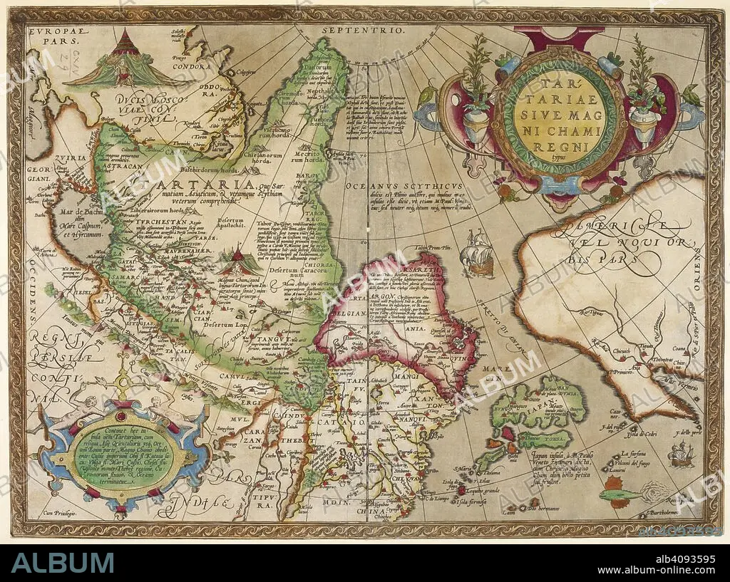
A map of Tartary. Tartarie sive Magni Chami Regni typus. 1606. Source: Maps K.Top.114.(29).
| Share |
|---|
 Pinterest Pinterest |
 Twitter Twitter |
 Facebook Facebook |
 Copy link Copy link |
 Email Email |
|
Add to another lightbox |
|
Add to another lightbox |


Buy this image.
Select the use:

Caption: A map of Tartary. Tartarie sive Magni Chami Regni typus. 1606. Source: Maps K.Top.114.(29).
Credit: Album / British Library
Releases: ? Model Release: No - ? Property Release: No
Rights questions?
Rights questions?
Image size: 6652 × 4962 px | 94.4 MB
Print size: 56.3 × 42.0 cm | 2618.9 × 1953.5 in (300 dpi)
Keywords: 17TH CENTURY • 17TH CENTURY. • 17TH • 17TH-CENTURY • ASIA • CARTE • CARTOGRAPHIC • CARTOGRAPHY • GREAT TARTARY • MAP MAKING • MAP • MAPS • PLAN (CARTOGRAPHY) • TARTARY • XVII CENTURY
