alb8362805
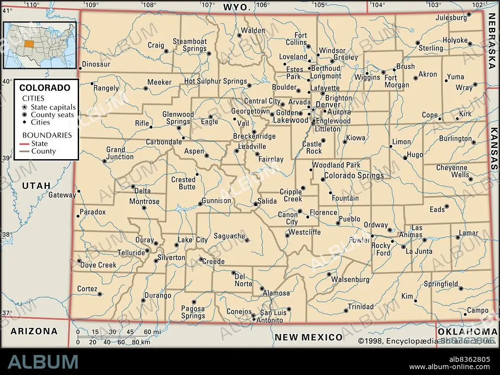
Political map of Colorado
| Share |
|---|
 Pinterest Pinterest |
 Twitter Twitter |
 Facebook Facebook |
 Copy link Copy link |
 Email Email |
|
Add to another lightbox |
|
Add to another lightbox |


Caption:
Political map of Colorado
Credit:
Album / Universal Images Group / Encyclopaedia Britannica
Releases:
Model: No - Property: No
Rights questions?
Rights questions?
Image size:
3825 x 2672 px | 29.2 MB
Print size:
32.4 x 22.6 cm | 12.7 x 8.9 in (300 dpi)
Keywords:
20 XX TWENTIETH CENTURY • 20TH CENTURY • 20TH • AMERICA • AMERICAS • CARTOGRAPHY • COLORADO • COUNTIES • COUNTY • DETAIL • EEUU • EXPLORATION • GEOGRAPHICAL • GEOGRAPHY • HORIZONTAL • LOCATOR • MAP MAKING • MAP • MAPS • NORTH AMERICA • NORTH AMERICAN • PLAN (CARTOGRAPHY) • POLITICAL MAP • STATE • STATES • TWENTIETH CENTURY • UNITED STATES • US • WESTERN STATES
