alb6153165
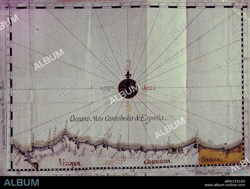
JUAN BAUTISTA LOUSTAU. MAPA DE COSTAS MARITIMAS DE VIZCAYA 1786
| Share |
|---|
 Pinterest Pinterest |
 Twitter Twitter |
 Facebook Facebook |
 Copy link Copy link |
 Email Email |
|
Add to another lightbox |
|
Add to another lightbox |


Caption:
Automatic translation: MAP OF THE MARITIME COASTS OF BIZCAYA 1786
MAPA DE COSTAS MARITIMAS DE VIZCAYA 1786
Location:
Credit:
Album / Oronoz
Copyright:
Artist Copyright must be cleared if the artist's work is not in the public domain in the country where you are licensing.
Releases:
Model: No - Property: No
Rights questions?
Rights questions?
Image size:
3420 x 2417 px | 23.6 MB
Print size:
29.0 x 20.5 cm | 11.4 x 8.1 in (300 dpi)
Keywords:
18TH CENTURY • 18TH CENTURY, THE • 18TH • AZCOITIA • BISCAY • COAST • COASTAL • COASTLINE • GUIPUZCOA • LOUSTAU JUAN BAUTIST • MAP • MAPS • MARITIME • PLAN (CARTOGRAPHY) • PRIVATE COLLECTION • SEASHORE • SEASIDE • SHORELINE • SPAIN • VIZCAYA • XVIII CENTURY
