alb6366237
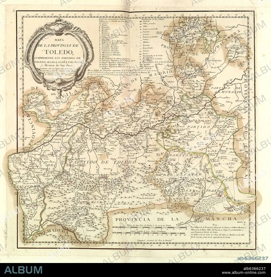
TOMÁS LÓPEZ. MAPA DE LA PROVINCIA DE TOLEDO, COMPREHENDE LOS PARTIDOS DE TOLEDO, ALCALA, OCAÑA, TALAVERA Y ALCAZAR DE SAN JUAN, 1768, GRABADO COLOREADO 40,5x40,5
| Share |
|---|
 Pinterest Pinterest |
 Twitter Twitter |
 Facebook Facebook |
 Copy link Copy link |
 Email Email |
|
Add to another lightbox |
|
Add to another lightbox |


Author:
Caption:
Automatic translation: MAP OF THE PROVINCE OF TOLEDO, INCLUDING THE DISTRICTS OF TOLEDO, ALCALA, OCAÑA, TALAVERA AND ALCAZAR DE SAN JUAN, 1768, COLORED ENGRAVING 40.5x40.5
MAPA DE LA PROVINCIA DE TOLEDO, COMPREHENDE LOS PARTIDOS DE TOLEDO, ALCALA, OCAÑA, TALAVERA Y ALCAZAR DE SAN JUAN, 1768, GRABADO COLOREADO 40,5x40,5
Location:
Credit:
Album / Oronoz
Releases:
Model: No - Property: No
Rights questions?
Rights questions?
Image size:
3447 x 3353 px | 33.1 MB
Print size:
29.2 x 28.4 cm | 11.5 x 11.2 in (300 dpi)
