alb4504331
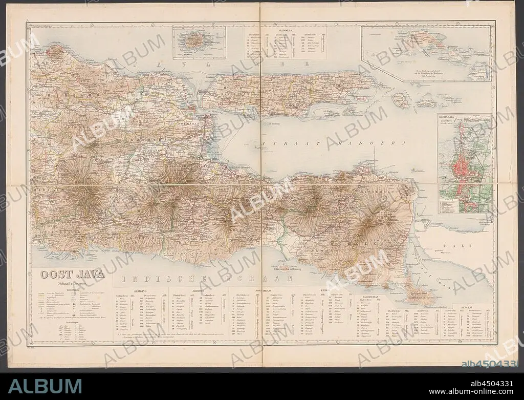
Map of East Java, Map of East Java with legend and inset maps from the area around Surabaya, the Kangean Islands and the island of Bawean. Numbered top left: 5. With degree distribution along the edges, maps of separate countries or regions, East Java, Bawean, Kangean Islands, Surabaya, Topografische Inrichting (mentioned on object), Java, 1906, paper, linen (material), h 655 mm × w 920 mm.
| Share |
|---|
 Pinterest Pinterest |
 Twitter Twitter |
 Facebook Facebook |
 Copy link Copy link |
 Email Email |
|
Add to another lightbox |
|
Add to another lightbox |


Buy this image.
Select the use:

Caption: Map of East Java, Map of East Java with legend and inset maps from the area around Surabaya, the Kangean Islands and the island of Bawean. Numbered top left: 5. With degree distribution along the edges, maps of separate countries or regions, East Java, Bawean, Kangean Islands, Surabaya, Topografische Inrichting (mentioned on object), Java, 1906, paper, linen (material), h 655 mm × w 920 mm
Credit: Album / quintlox
Releases: ? Model Release: No - ? Property Release: No
Rights questions?
Rights questions?
Image size: 6000 × 4265 px | 73.2 MB
Print size: 50.8 × 36.1 cm | 2362.2 × 1679.1 in (300 dpi)
Keywords: 1906 • 5 • AREA • BAWEAN • DEGREE DISTRIBUTION • EAST JAVA • EDGES • INSET MAPS • ISLA • ISLAND • ISLANDS • JAVA • KANGEAN ISLANDS • LEGEND • LINEN • MAP • MAPS • MATERIAL • MATERIALS • MENTIONED • NUMBERED TOP LEFT • OBJECT • OBJECTS • PAPER AND PACKAGE PRODUCTS • PAPER • PLAN (CARTOGRAPHY) • REGIONS • SEPARATE COUNTRIES • SURABAYA • TOPOGRAFISCHE INRICHTING • UMBRELLA
