alb5366686
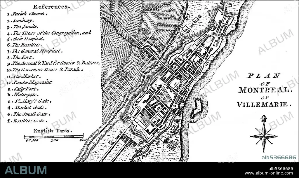
City map of the city of Montreal, Quebec, Canada, around 1760, North America.
| Share |
|---|
 Pinterest Pinterest |
 Twitter Twitter |
 Facebook Facebook |
 Copy link Copy link |
 Email Email |
|
Add to another lightbox |
|
Add to another lightbox |


Buy this image.
Select the use:

Caption: City map of the city of Montreal, Quebec, Canada, around 1760, North America
Credit: Album / ImageBroker / H.-D. Falkenstein
Releases: ? Model Release: No - ? Property Release: No
Rights questions?
Rights questions?
Image size: 5670 × 3084 px | 50.0 MB
Print size: 48.0 × 26.1 cm | 2232.3 × 1214.2 in (300 dpi)
Keywords: AGE • ÂGÉS • AMERICA NORTH • AMERICA • AMERICA. • AMERICAN • AMERICAS • AMERICAS, THE • BLACK AND WHITE • BLACK-AND-WHITE • BLACK-WHITE • CADRE • CANADA • CANADIAN • CARD • CARDBOARD • CARDS • CHARTS • CITY MAP • CITY MAPS • COLONIALISM • COLONISATION • COLONIZATION • COLONIZATIONS • DEPICTION • DEPICTIONS • GEOGRAFIA • GEOGRAPHIC • GEOGRAPHICAL • GEOGRAPHY • HISTORIC • HISTORICAL • HISTORY • IMAGE MOTIF • IMAGES • IN PAINTINGS • INTERIORS: IN PAINTINGS • MAP • MAPS • MONTREAL • MONTRéAL • NORTH AMERICA • NORTH AMERICAN • OLD AGE • OLD • PAINTING (ACTIVITY) • PAINTING • PAINTINGS • PICTURE • PICTURES • QUEBEC CITY • QUEBEC PROVINCE • QUEBEC • QUéBEC
