alb1642133
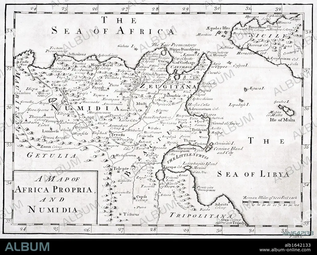
A 19th century Map of Africa Propria and Numidia.
| Share |
|---|
 Pinterest Pinterest |
 Twitter Twitter |
 Facebook Facebook |
 Copy link Copy link |
 Email Email |
|
Add to another lightbox |
|
Add to another lightbox |


Buy this image.
Select the use:

Caption:
A 19th century Map of Africa Propria and Numidia
Credit:
Album / Universal History Archive/Universal Images Group
Releases:
Model: No - Property: No
Rights questions?
Rights questions?
Image size:
4988 x 3767 px | 53.8 MB
Print size:
42.2 x 31.9 cm | 16.6 x 12.6 in (300 dpi)
Keywords:
19 CENTURY • 19TH CENTURY • 19TH • 19TH-CENTURY • AFRICA • AFRICAN • B & W • B / W • B&W • BLACK & WHITE • BLACK AND WHITE • CARTOGRAPHY • CENTURY • DRAWINGS • ENGRAVED • ENGRAVING (ARTWORK) • ENGRAVING • ENGRAVING. • ENGRAVINGS • ETCHING • FLEET • HORIZONTAL • ILLUSTRATION • ILLUSTRATIONS • KEN • LIBIA • MALTA • MALTESE • MAP MAKING • MAP • MAPS • MARINE • NAVY • NINETEENTH CENTURY • NINETEENTH • NORDEN • NORTH • NUMIDIA • OCEAN • PLAN (CARTOGRAPHY) • PRINT • PRINTS • PROPRIA • SEA • SEAS • SICILY • TRIPOLITANA • TUNISIA • TUNISIAN • WELSH • XIX CENTURY • ZEUGITANIA
