alb9230768
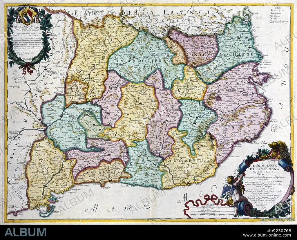
Coloured map of the Principality of Catalonia, Rome, 1690. Creator: Cantelli, G.; Barbey, A.; Rossi, G. G..
| Share |
|---|
 Pinterest Pinterest |
 Twitter Twitter |
 Facebook Facebook |
 Copy link Copy link |
 Email Email |
|
Add to another lightbox |
|
Add to another lightbox |


Buy this image.
Select the use:

Title:
Coloured map of the Principality of Catalonia, Rome, 1690. Creator: Cantelli, G.; Barbey, A.; Rossi, G. G..
Caption:
Coloured map of the Principality of Catalonia. Rome, 1690.
Personalities:
Credit:
Album / Arxiu Delstres - Index/Heritage Images
Releases:
Image size:
6043 x 4566 px | 78.9 MB
Print size:
51.2 x 38.7 cm | 20.1 x 15.2 in (300 dpi)
Keywords:
17TH CENTURY • A. • AGRAMUNT • BARBEY • BARCELONA • CAMPRODON • CANTELLI • CATALONIA • CERDAÑA • CERVERA • COLOR • COLORED • COLOUR • EMPORDÀ • FLUSH • G. G. • G. • GIRONA • INDEX FOTOTECA • LANGUEDOC • LLEIDA • MANRESA • MAP • MAPS • MONTBLANC • PENEDÈS • PORTULANS • PRINCIPALITY • PRIVATE COLLECTION • PROVINCE OF TARRAGONA • PUIGCERDÀ • ROME • ROSSI • ROUSSILLON • SPAIN • TARRAGONA • TÀRREGA • TORTOSA • VIC • VILAFRANCA
