alb4092734
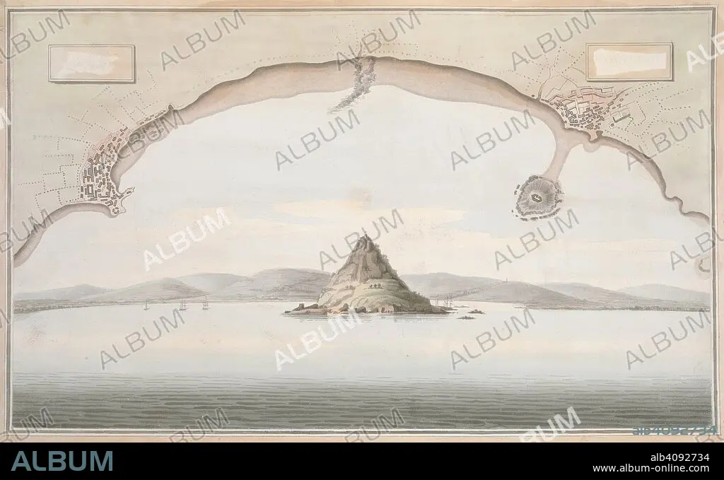
A view of St. Michael's Mount and the adjacent coast, with a plan of the coast of Cornwall from Penzance to Merazion. A colored view of St. Michael's Mount and the adjacent coast, taken from the sea; with a plan of the coast of Cornwall from Penzance to Merazion. ca. 1775-1800. Source: Maps K.Top.9.41.i.
| Share |
|---|
 Pinterest Pinterest |
 Twitter Twitter |
 Facebook Facebook |
 Copy link Copy link |
 Email Email |
|
Add to another lightbox |
|
Add to another lightbox |


Buy this image.
Select the use:

Caption:
A view of St. Michael's Mount and the adjacent coast, with a plan of the coast of Cornwall from Penzance to Merazion. A colored view of St. Michael's Mount and the adjacent coast, taken from the sea; with a plan of the coast of Cornwall from Penzance to Merazion. ca. 1775-1800. Source: Maps K.Top.9.41.i.
Credit:
Album / British Library
Releases:
Image size:
7821 x 4782 px | 107.0 MB
Print size:
66.2 x 40.5 cm | 26.1 x 15.9 in (300 dpi)
Keywords:
18TH CENTURY • 18TH CENTURY, THE • 18TH CENTURY. • 18TH • ARCHIVE • ARCHIVES • BRITAIN • COAST • COASTAL • COASTLINE • CORNWALL • DOCUMENT • ENGLAND'S • ENGLAND • FLEET • GREAT BRITAIN • GREAT-BRITAIN • MARINE • MARITIME • MONT • MOUNT • MOUNTAIN RANGE • MOUNTAIN • MOUNTAINS • MOUNTAINS. • NAVY • NO ONE • NO-ONE • NOBODY • OCEAN • OCEANS • PLAN • RANGE • SEA • SEA. • SEACOAST • SEAS • SEASCAPE WITH BEACH • SEASHORE • SEASIDE • SHORELINE • SIERRA • ST MICHAEL'S MOUNT • ST MICHAELS MOUNT • U. K. • UNITED KINGDOM • XVIII CENTURY
