alb2200174
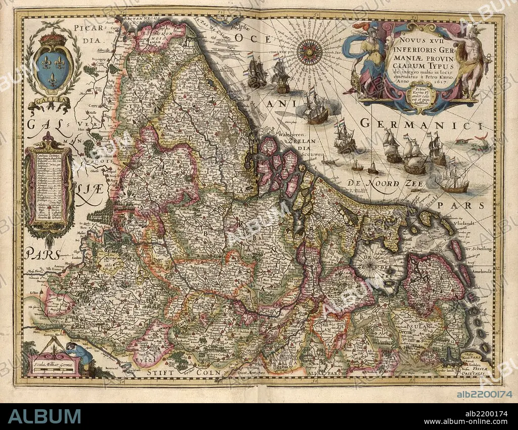
Map of Picardy, France 1622
| Share |
|---|
 Pinterest Pinterest |
 Twitter Twitter |
 Facebook Facebook |
 Copy link Copy link |
 Email Email |
|
Add to another lightbox |
|
Add to another lightbox |


Buy this image.
Select the use:

Title:
Map of Picardy, France 1622
Caption:
Picardy is one of the 26 regions of France. It is located in the northern part of France.
Credit:
Album / Universal Images Group / Universal History Archive/UIG
Releases:
Model: No - Property: No
Rights questions?
Rights questions?
Image size:
7908 x 6149 px | 139.1 MB
Print size:
67.0 x 52.1 cm | 26.4 x 20.5 in (300 dpi)
Keywords:
1622 • AMSTERDAM • ATLAS • CARTOGRAPHIC • CARTOGRAPHY • DUTCH • GERMANY • HOLLAND • KEERE • MAP MAKING • MAP • MAPMAKERS • MAPS • NETHERLANDISH • PLAN (CARTOGRAPHY) • ROUMANIA • TRANSYLVANIA
