alb3549052
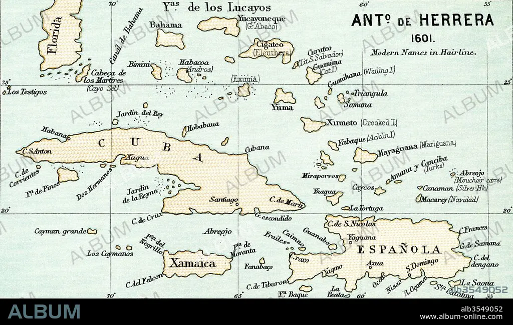
Antonio de Herrera y Tordesillas map of the Bahamas, 1601
| Share |
|---|
 Pinterest Pinterest |
 Twitter Twitter |
 Facebook Facebook |
 Copy link Copy link |
 Email Email |
|
Add to another lightbox |
|
Add to another lightbox |


Buy this image.
Select the use:

Title:
Antonio de Herrera y Tordesillas map of the Bahamas, 1601
Caption:
Antonio de Herrera y Tordesillas map of the Bahamas, 1601. From the book Life of Christopher Columbus by Clements R. Markham published 1892.
Credit:
Album / Universal Images Group / Universal History Archive
Releases:
Model: No - Property: No
Rights questions?
Rights questions?
Image size:
5513 x 3213 px | 50.7 MB
Print size:
46.7 x 27.2 cm | 18.4 x 10.7 in (300 dpi)
Keywords:
1601 • ANTONIO • BAHAMAS • CARTOGRAPHY • CHART • CHRISTOPHER • COLON • COLUMBUS • CRISTÓBAL • CRISTOVAL • CUBA • DE • ESPANOLA • GEOGRAFIA • GEOGRAPHICAL • GEOGRAPHY • HERRERA • MAP MAKING • MAP • MAPMAKING • MAPS • NEW • PLAN (CARTOGRAPHY) • TORDESILLAS • WORLD • Y
