alb3109515
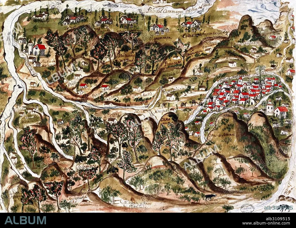
Mapa de la provincia de Loja/1769.
| Share |
|---|
 Pinterest Pinterest |
 Twitter Twitter |
 Facebook Facebook |
 Copy link Copy link |
 Email Email |
|
Add to another lightbox |
|
Add to another lightbox |


Buy this image.
Select the use:

Caption:
Automatic translation: Map of the province of Loja/1769
Mapa de la provincia de Loja/1769
Museum: ARCHIVO DE INDIAS / SEVILLA / ESPAÑA
Credit: Album / Joseph Martin
Releases: ? Model Release: No - ? Property Release: No
Rights questions?
Rights questions?
Image size: 5211 × 3748 px | 55.9 MB
Print size: 44.1 × 31.7 cm | 2051.6 × 1475.6 in (300 dpi)
Keywords: 18TH CENTURY • 18TH CENTURY, THE • 18TH CENTURY. • 18TH • ARCHIVO DE INDIAS / SEVILLA / ESPAÑA • ENGRAVED • ENGRAVING (ARTWORK) • ENGRAVING • ENGRAVING. • ENGRAVINGS • ETCHING • MAP • MAPS • PLAN (CARTOGRAPHY) • PRINT • XVIII CENTURY
