alb4069841
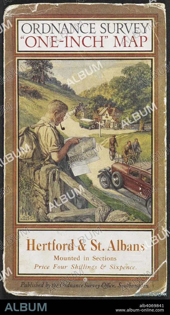
Cover of Hertford & St. Albans tourist map, showing a rambler reading a map. Hertford & St. Albans: tourist map. Southampton Ordnance Survey, 1931. Source: Maps.209.d.3.(43), cover. Language: English.
| Share |
|---|
 Pinterest Pinterest |
 Twitter Twitter |
 Facebook Facebook |
 Copy link Copy link |
 Email Email |
|
Add to another lightbox |
|
Add to another lightbox |


Caption:
Cover of Hertford & St. Albans tourist map, showing a rambler reading a map. Hertford & St. Albans: tourist map. Southampton Ordnance Survey, 1931. Source: Maps.209.d.3.(43), cover. Language: English.
Credit:
Album / British Library
Releases:
Model: No - Property: No
Rights questions?
Rights questions?
Image size:
3968 x 6990 px | 79.4 MB
Print size:
33.6 x 59.2 cm | 13.2 x 23.3 in (300 dpi)
Keywords:
20 XX TWENTIETH CENTURY • 20TH CENTURY • 20TH • AUTOMOBILE • BICYCLE • BIKE • BIKES • CAR • CARGO • CARTE • CARTOGRAPHIC • CARTOGRAPHY • COACH • CYCLE • EVENT • EVENTS • JOURNEY • JOURNEYMAN'S TRAVEL • JOURNEYMAN'S TRAVELS • JOURNEYS • LEISURE • MALE • MALES • MAN MEN • MAN • MAP MAKING • MAP • MAPS • MASCULINE • MEN • MOTOR CAR • PENNY-FARTHING • PIPE (TOBACCO) • PLAN (CARTOGRAPHY) • READ • TRANSPORT • TRANSPORTATION • TRANSPORTS • TRAVEL • TRAVELING • TRIP • TWENTIETH CENTURY • VEHICLE • VOYAGE
