alb4825771
PREMIERE GUERRE MONDIALE
| Share |
|---|
 Pinterest Pinterest |
 Twitter Twitter |
 Facebook Facebook |
 Copy link Copy link |
 Email Email |
|
Add to another lightbox |
|
Add to another lightbox |


Buy this image.
Select the use:

Title:
PREMIERE GUERRE MONDIALE
Caption:
See automatic translation
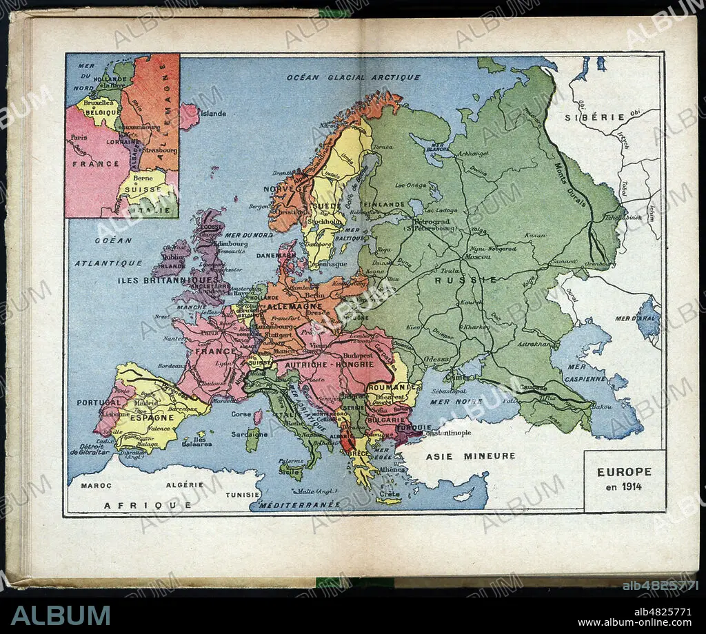
Europe en 1914. Carte geographique tiree du manuel scolaire Tour de l'Europe pendant la guerre par G. Bruno (Augustine FEUILLEE (1833-1923). Edition de 1916. Credit: Coll. Jonas/Kharbine Tapabor.
Credit:
Album / Coll. Jonas/KHARBINE-TAPABOR
Releases:
Image size:
2872 x 2432 px | 20.0 MB
Print size:
24.3 x 20.6 cm | 9.6 x 8.1 in (300 dpi)
Keywords:
CLASS • COURSE • EDUCATING • EDUCATION • EDUCATION. • EUROPA • EUROPE • INSTRUCTING • INSTRUCTION • LESSON (SCHOOL) • LESSON • MAP • MAPS • PEDAGOGY • PERIOD • PLAN (CARTOGRAPHY) • STUDENT • TEACHING • TEACHING, EDUCATION • TRAINING • UPBRINGING
