alb5295634
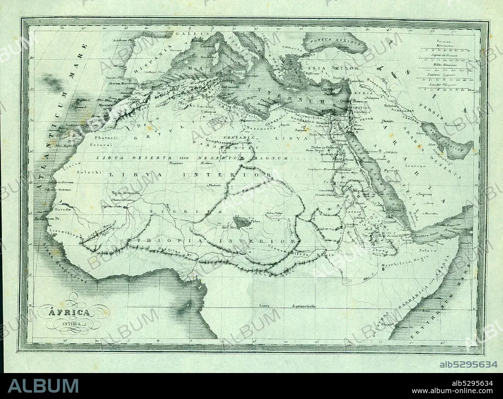
Mapa físico-político de África antigua. Grabado de 1870.
| Share |
|---|
 Pinterest Pinterest |
 Twitter Twitter |
 Facebook Facebook |
 Copy link Copy link |
 Email Email |
|
Add to another lightbox |
|
Add to another lightbox |


Buy this image.
Select the use:

Caption:
Automatic translation: Physico-political map of ancient Africa. 1870 engraving
Mapa físico-político de África antigua. Grabado de 1870.
Credit:
Album / Documenta
Releases:
Model: No - Property: No
Rights questions?
Rights questions?
Image size:
5750 x 4274 px | 70.3 MB
Print size:
48.7 x 36.2 cm | 19.2 x 14.2 in (300 dpi)
Keywords:
12TH CENTURY • AFRICA • AFRICAN • ANTIQUITY • CIVILIZATION • GEOGRAPHY • HISTORIA UNIVERSAL • HISTORIA • HISTORY • MAP • MAPS • PLAN (CARTOGRAPHY)
