alb3808258
Gerardus Mercator, Flemish Cartographer
| Share |
|---|
 Pinterest Pinterest |
 Twitter Twitter |
 Facebook Facebook |
 Copy link Copy link |
 Email Email |
|
Add to another lightbox |
|
Add to another lightbox |


Buy this image.
Select the use:

Title:
Gerardus Mercator, Flemish Cartographer
Caption:
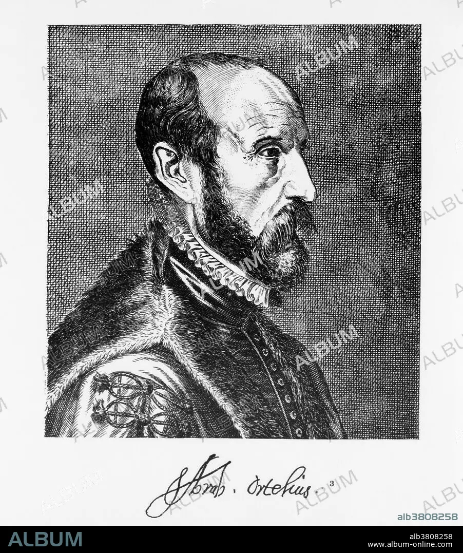
Gerardus Mercator (March 5, 1512 - December 2, 1594) was a Flemish cartographer. He was born Gerard de gemor or de Cremer (Mercator is the Latinized form of his name). Mercator's map-making began when he produced a map of Palestine in 1537. In 1538 he produced a map of the world and a map of Flanders in 1540. He was appointed Court Cosmographer to Wilhelm, Duke of Jülich-Cleves-Berg in 1564. He constructed a new chart and first used it in 1569. The Mercator projection is a cylindrical map projection. It became the standard map projection for nautical purposes because of its ability to represent lines of constant course, known as rhumb lines or loxodromes, as straight segments. While the linear scale is equal in all directions around any point, thus preserving the angles and the shapes of small objects (which makes the projection conformal), the Mercator projection distorts the size and shape of large objects, as the scale increases from the Equator to the poles, where it becomes infinite. In 1570 Mercator took the word atlas to describe a collection of maps, and encouraged Abraham Ortelius to compile the first modern world atlas, Theatrum Orbis Terrarum. He produced his own atlas in a number of parts, the first of which was published in 1578. He died in 1594 at the age of 82.
Category:
people • Historical & Fine Arts • black & white
Credit:
Album / Science Source / Library of Congress
Releases:
Image size:
3987 x 4524 px | 51.6 MB
Print size:
33.8 x 38.3 cm | 13.3 x 15.1 in (300 dpi)
Keywords:
1512 • 1594 • 16 16TH XVI XVITH SIXTEENTH CENTURY • 16 CENTURY • 16TH CENTURY • 16TH • ART • ARTWORK • BLACK & WHITE • BW • CARTOGRAPHER • CARTOGRAPHY • CELEBRITIES • CELEBRITY • COSMOGRAPHER • COSMOGRAPHY • COURT COSMOGRAPHER • CYLINDRICAL MAP PROJECTION • DRAWING • DUTCH • EUROPEA • EUROPEAN • EUROPEANS • FAMOUS PEOPLE • FAMOUS • FIGURE • FLEMISH • G. MERCATOR • GERARD DE CREMER • GERARD DE GEMOR • GERARD MERCATOR • GERARDUS MERCATOR • HISTORIC • HISTORICAL & FINE ARTS • HISTORICAL • HISTORY • ILLUSTRATION • ILLUSTRATIONS • ILUSTRATION • IMPORTANT • LINES OF CONSTANT COURSE • LOXODROMES • MALE • MAN • MAP MAKING • MAP-MAKER • MAPMAKER • MEN • MERCATOR CHART • MERCATOR PROJECTION WORLD MAP • MERCATOR PROJECTION • MERCATOR WORLD MAP • MERCATOR • NOTABLE • PEOPLE • PERSON • PERSONALITIES • PERSONALITY • RHUMB LINES • STANDARD MAP PROJECTION • TRUE BEARING • TRUE COURSE • WELL-KNOWN • XVI CENTURY
