alb5368504
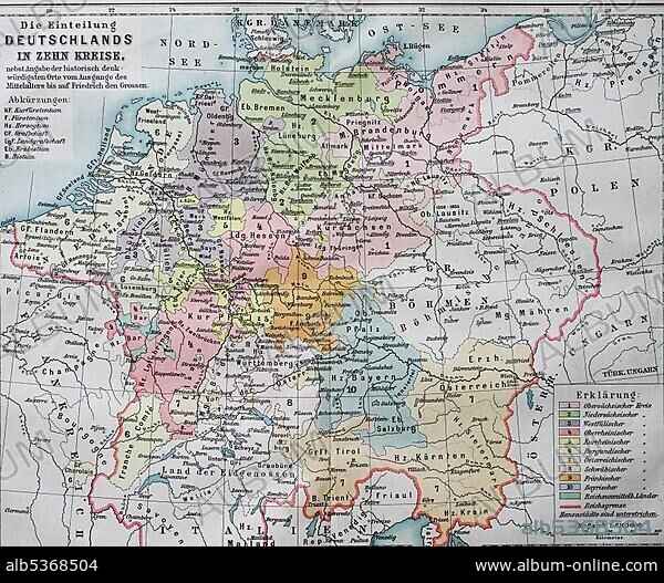
Map, the division of Germany into ten circles in the 16th century, imperial circles, historical illustration, Germany
| Share |
|---|
 Pinterest Pinterest |
 Twitter Twitter |
 Facebook Facebook |
 Copy link Copy link |
 Email Email |
|
Add to another lightbox |
|
Add to another lightbox |


Buy this image.
Select the use:

Caption: Map, the division of Germany into ten circles in the 16th century, imperial circles, historical illustration, Germany, Europe
Credit: Album / ImageBroker / BAO
Releases: ? Model Release: No - ? Property Release: No
Rights questions?
Rights questions?
Image size: 4607 × 3794 px | 50.0 MB
Print size: 39.0 × 32.1 cm | 1813.8 × 1493.7 in (300 dpi)
Keywords: 10 • 10TH CENTURY • 10TH • 1500S, THE • 16 16TH XVI XVITH SIXTEENTH CENTURY • 16 CENTURY • 16TH CENTURY • 16TH • CARD • CARDBOARD • CARDS • CHARTS • CIRCLE • CIRCLES • COLORIZED • COLOURIZED • CONTEMPORARY HISTORY • DIGIT • DRAWING • DRAWINGS • DRAWN • FAIRY TALES • GEOGRAFIA • GEOGRAPHY • HISTORIC • HISTORICAL • HISTORY • ILLUSTRATED • ILLUSTRATION • ILLUSTRATIONS • ILUSTRATION • MAP • MAPS • NO ONE • NO PEOPLE • NO-ONE • NOBODY • NUMBER • NUMBERS • ROUND • SHORT STORY • SIXTEENTH CENTURY • SKETCH • STORIES • STORY • TALE • TALES • TEN • TENTH CENTURY • TENTH • WITHOUT PEOPLE • XVI CENTURY
