alb6176715
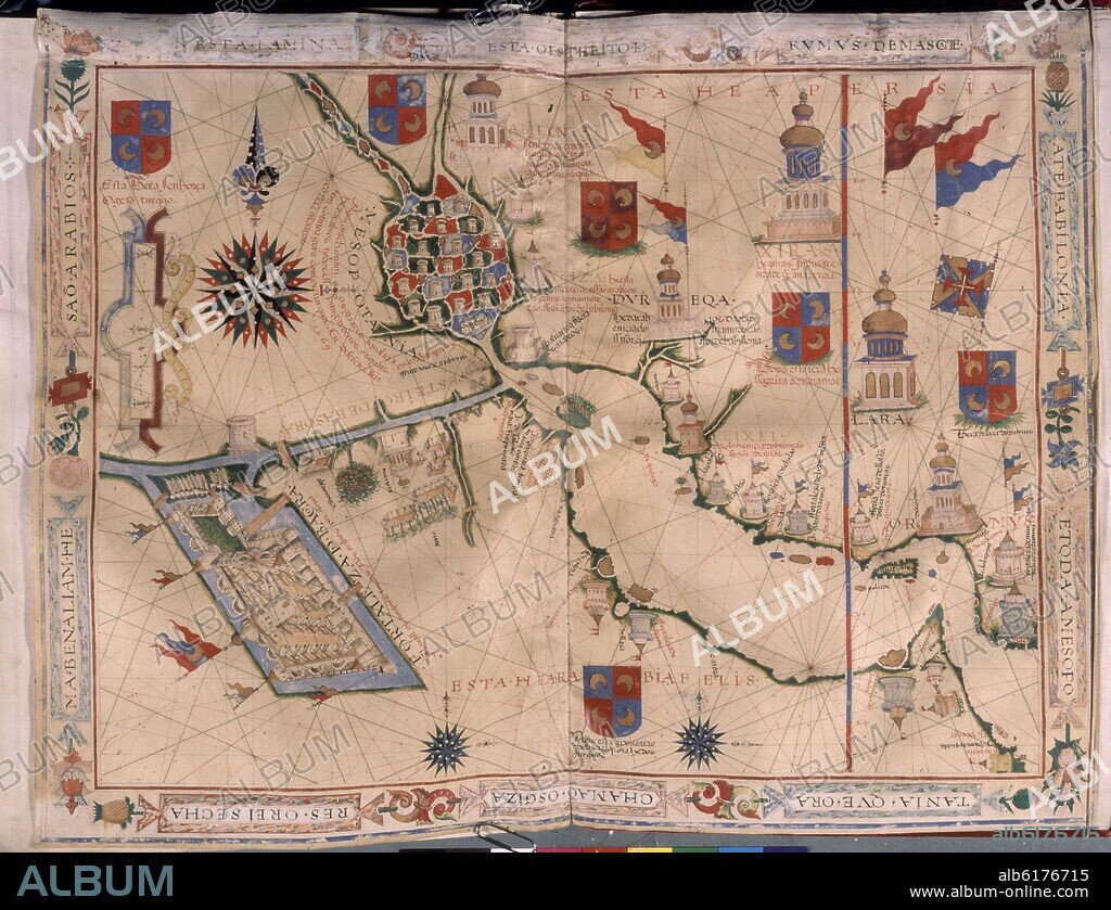
FERNAO VAZ DOURADO (1520-1580). MAPA DE MESOPOTAMIA Y EL IMPERIO PERSA - ATLAS PORTULANO - 1568 - MAR ARABIGO

|
Add to another lightbox |
|
Add to another lightbox |


Buy this image.
Select the use:

Author:
Caption:
Automatic translation: MAP OF MESOPOTAMIA AND THE PERSIAN EMPIRE - PORTULAN ATLAS - 1568 - ARABIAN SEA
MAPA DE MESOPOTAMIA Y EL IMPERIO PERSA - ATLAS PORTULANO - 1568 - MAR ARABIGO
Location:
Credit:
Album / Oronoz
Copyright notice:
Artist Copyright must be cleared if the artist's work is not in the public domain in the country where you are licensing.
Releases:
Model: No - Property: No
Rights questions?
Rights questions?
Image size:
4382 x 3362 px | 42.1 MB
Print size:
37.1 x 28.5 cm | 14.6 x 11.2 in (300 dpi)
Keywords:
16 16TH XVI XVITH SIXTEENTH CENTURY • 16 CENTURY • 16TH CENTURY • 16TH • ANT. OR.: MESOPOTAMIA • ANTIQUITIES ORIENTAL: MESOPOTAMIA • ARABIAN SEA • CARTOGRAPHY • COAST • COASTAL • COASTLINE • COMPASS ROSE • COMPASS • EUPHRATES, RIVER • FERNAO VAZ DOURADO (1520-1580) • GEOGRAFIA • GEOGRAPHIC ATLAS • GEOGRAPHY • HALF MOON • HALF-MOON • LARA • LETTER MARITIMA • MADRID • MAP MAKING • MAP • MAPS • MARITIME NAVIGATION • MARITIME • MESOPOTAMIA • MESOPOTAMIAN • MYTH: PERSIAN • NAUTICAL CHART • NAVEGATION • NAVIGATION • ONLINE NAVIGATION • PERSIA • PERSIAN ART • PERSIAN MYTH • PERSIAN • PLAN (CARTOGRAPHY) • PORTOLANO • PRIVATE COLLECTION • RIVER EUPHRATES • RIVER TIGRIS • SAILING • SEA CHART • SEASHORE • SEASIDE • SHIPPING • SHORELINE • SPAIN • TIGRIS RIVER • WINDROSE • XVI CENTURY
 Pinterest
 Twitter
 Facebook
 Copy link
 Email
Email
