alb4614708
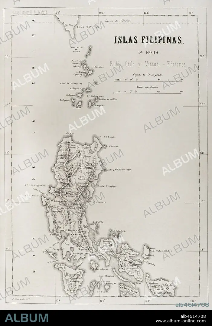
Map of the Philippine islands (Spanish colonial period). Luzon Island. Engraving. Crónica General de España, Historia Ilustrada y Descriptiva de sus Provincias (General Chronicle of Spain, Illustrated and Descriptive History of its Provinces), Philippines, 1871.
| Share |
|---|
 Pinterest Pinterest |
 Twitter Twitter |
 Facebook Facebook |
 Copy link Copy link |
 Email Email |
|
Add to another lightbox |
|
Add to another lightbox |


Buy this image.
Select the use:

Caption:
Map of the Philippine islands (Spanish colonial period). Luzon Island. Engraving. Crónica General de España, Historia Ilustrada y Descriptiva de sus Provincias (General Chronicle of Spain, Illustrated and Descriptive History of its Provinces), Philippines, 1871
Location:
PRIVATE COLLECTION
Credit:
Album / Prisma
Releases:
Model: No - Property: No
Rights questions?
Rights questions?
Image size:
3033 x 4433 px | 38.5 MB
Print size:
25.7 x 37.5 cm | 10.1 x 14.8 in (300 dpi)
Keywords:
1871 • 19 CENTURY • 19TH CENTURY • 19TH CENTURY. • 19TH • 19TH-CENTURY • ANCIENT CARTOGRAPHY • ANCIENT MAP • ARCHIPELAGO • ASIA • ASIAN • ASIATIC • ASIATICA • CARTOGRAPHY • CHINA SEA • COLONIAL ERA • COLONIAL PERIOD • COLONIALISM • ENGRAVED • ENGRAVING (ARTWORK) • ENGRAVING • ENGRAVING. • ENGRAVINGS • ETCHING • GEOGRAFIA • GEOGRAPHY • HISTORIA UNIVERSAL • HISTORIA • HISTORY • HISTORY. • ISLA • ISLAND • ISLANDS • KINGDOM OF THE PHILIPPINES • LUZON ISLAND • LUZON STRAIT • LUZON • MAP MAKING • MAP • MAPPING • MAPS • NARROW • NINETEENTH CENTURY • OCEAN, PACIFIC • OLD MAP • OVERSEAS TERRITORIES • OVERSEAS TERRITORY • PACIFIC OCEAN • PACIFIC • PHILIPPINE ISLANDS • PHILIPPINE SEA • PHILIPPINES • PLAN (CARTOGRAPHY) • PRINT • PRIVATE COLLECTION • PROVINCE • PROVINCES • SOUTH CHINA SEA • SOUTHEAST ASIA • SPAIN • SPANISH COLONY • SPANISH EMPIRE • SPANISH • STRAIT • TERRITORIAL • TERRITORY • XIX CENTURY • XIX
