alb3192646
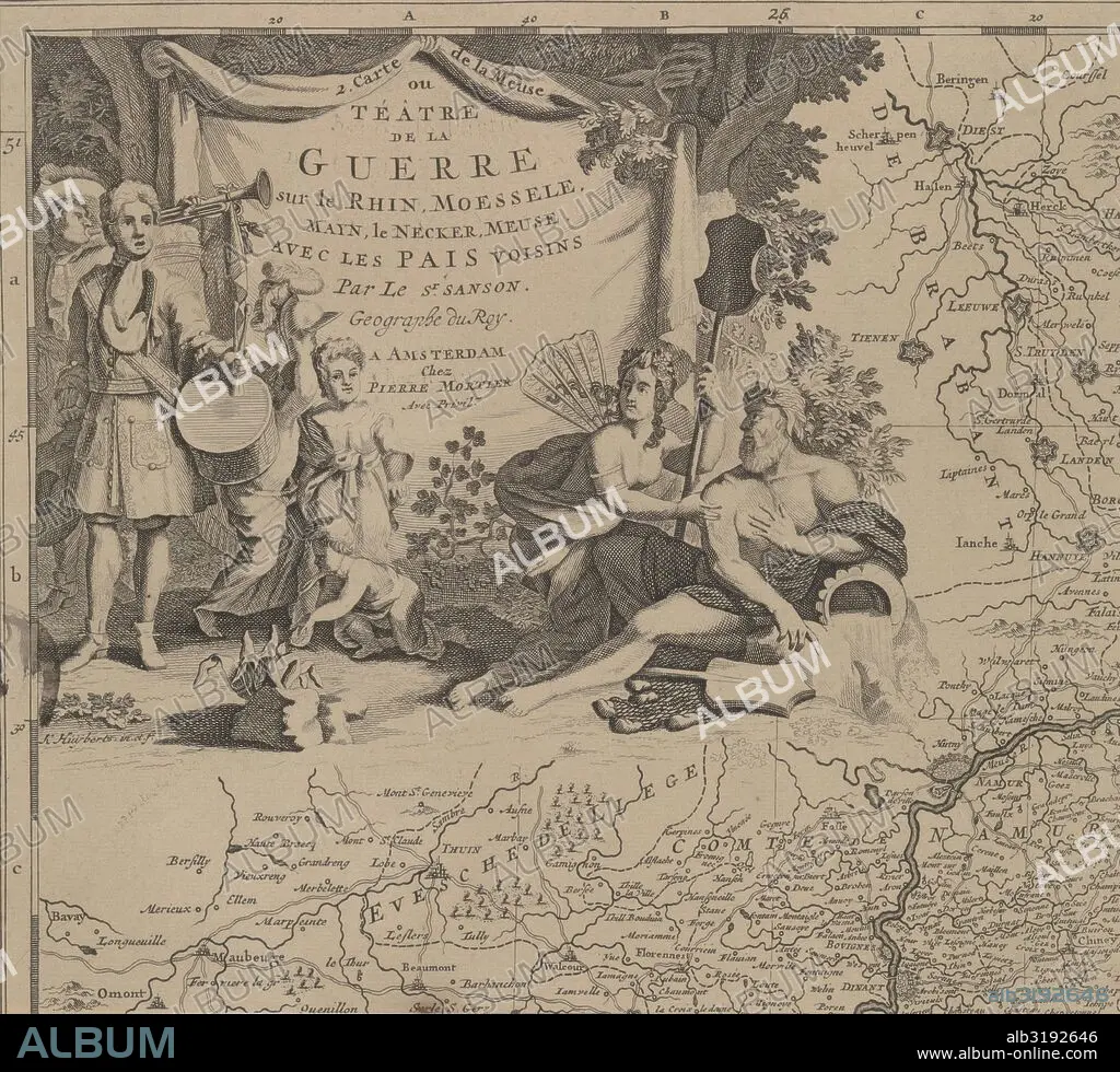
Map of the area east and south of Brussels and the county of Namur (leaf left) Belgium, Cornelis Huyberts, Sanson, Pieter Mortier, 1689 - 1712.
| Share |
|---|
 Pinterest Pinterest |
 Twitter Twitter |
 Facebook Facebook |
 Copy link Copy link |
 Email Email |
|
Add to another lightbox |
|
Add to another lightbox |


Buy this image.
Select the use:

Caption:
Map of the area east and south of Brussels and the county of Namur (leaf left) Belgium, Cornelis Huyberts, Sanson, Pieter Mortier, 1689 - 1712
Credit:
Album / quintlox
Releases:
Model: No - Property: No
Rights questions?
Rights questions?
Image size:
5314 x 4812 px | 73.2 MB
Print size:
45.0 x 40.7 cm | 17.7 x 16.0 in (300 dpi)
Keywords:
1689-1712 • 1695 • ALLEGORY • APHRODITE • AREA • BANNER • BEAUTY • BELGIUM • BRUSSELS • CARTOGRAPHY • CITY OF BRUSSELS • CORNELIS HUYBERTS • COUNTRIES • COUNTY • CROWNS • DRUM • DUTCH OCCUPATION • DUTCH • EARTH • EAST • GEOGRAFIA • GEOGRAPHICAL • GEOGRAPHY • HARD HAT • HARD-HAT • HARDHAT • HELMET • HEROISM • HORN PLAYER (MALE) • LEAF • LEAVE • LEAVES • LOVE • MAN • MAP MAKING • MAP • MAPS • MARS (PLANET) • MARS VENUS • MARS • MARS, PLANET • MEMORY • MEN • MUSICAL INSTR. TRUMPET • NAMUR MARS • NAMUR • NETHERLANDISH • OCCUPATION • ORIENT • PIETER MORTIER • PLAN (CARTOGRAPHY) • PLANET MARS • PUTTO CROWNS PUTTO • PUTTO • REGION EAST • REGIONS • SANSÓN • SOUTH • TRUMPET • TRUMPET, MUSICAL INSTR. • TWIST • VENUS • VENUS; • VICTORY • WORLD
