alb3800434
After Fall of Roman Empire, 5th Century
| Share |
|---|
 Pinterest Pinterest |
 Twitter Twitter |
 Facebook Facebook |
 Copy link Copy link |
 Email Email |
|
Add to another lightbox |
|
Add to another lightbox |


Buy this image.
Select the use:

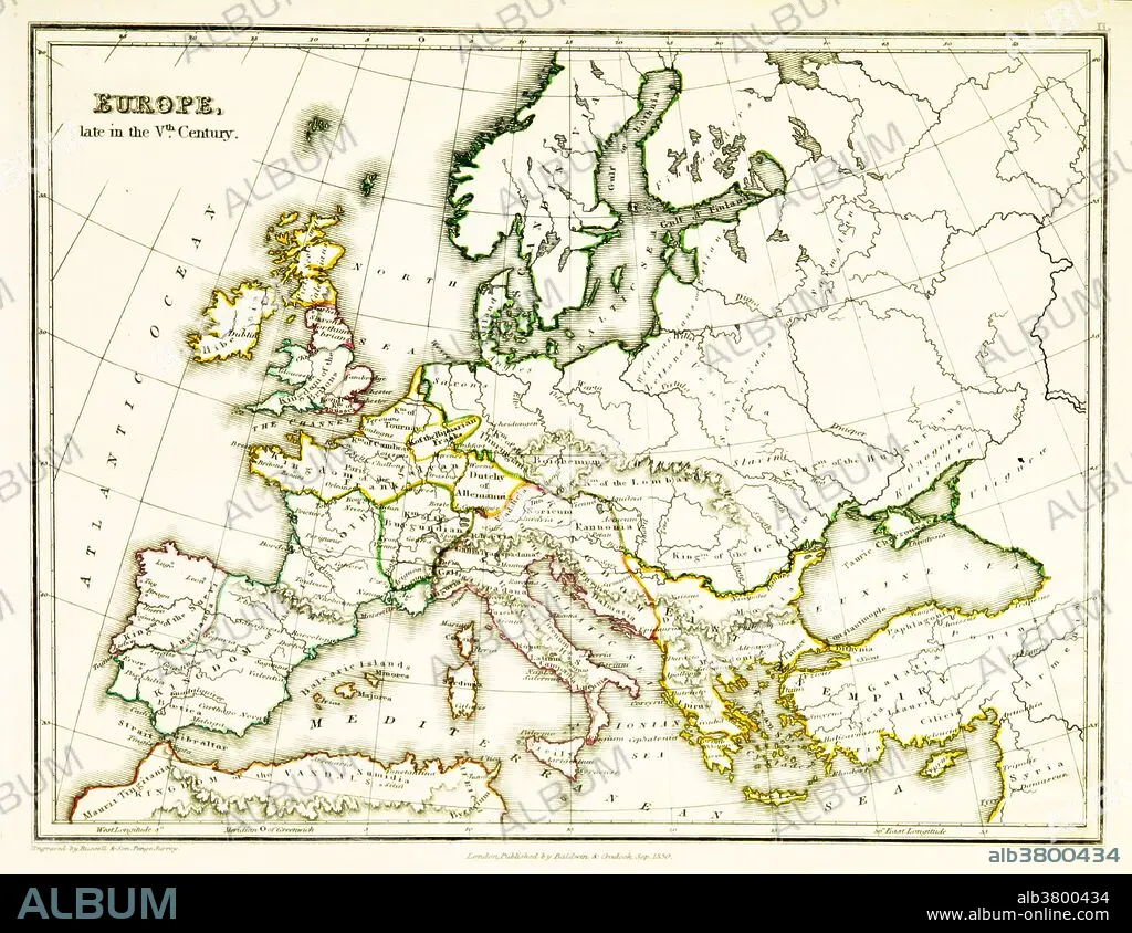
Title: After Fall of Roman Empire, 5th Century
Caption: A map of Europe, showing territorial borders existing in the 5th century, after the Western Roman Empire had effectively collapsed. By 476 CE, when Odoacer deposed the Emperor Romulus, the Western Roman Empire wielded negligible military, political, or financial power and had no effective control over the scattered Western domains that could still be described as Roman. Map published in 1831.
Category: History: Middle Ages
Credit: Album / Science Source / British Library
Releases: ? Model Release: No - ? Property Release: No
Rights questions?
Rights questions?
Image size: 3543 × 2736 px | 27.7 MB
Print size: 30.0 × 23.2 cm | 1394.9 × 1077.2 in (300 dpi)
Keywords: 5TH CENTURY AD • 5TH CENTURY BC • 5TH CENTURY • 5TH • ANCIENT CIVILIZATION • ANCIENT CULTURE • ANCIENT • ANTIQUITY • ART • ARTWORK • CARTOGRAPHY • CELEBRITIES • CELEBRITY • DRAWING • EUROPE • EUROPEA • EUROPEAN • EUROPEANS • FALL OF ROMAN EMPIRE • FAMOUS PEOPLE • FAMOUS • GEOGRAFIA • GEOGRAPHIC • GEOGRAPHICAL • GEOGRAPHY • HISTORIC • HISTORICAL • HISTORY • HISTORY: MIDDLE AGES • ILLUSTRATION • ILLUSTRATIONS • ILUSTRATION • IMPORTANT • MAP MAKING • MAP • MAPPING • NOTABLE • ROMAN EMPIRE • ROMAN REPUBLIC • ROMAN • S. V • WELL-KNOWN
