alb5385829
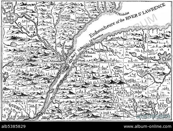
Map of 1730, the St. Lawrence river in Quebec, Canada, North America.
| Share |
|---|
 Pinterest Pinterest |
 Twitter Twitter |
 Facebook Facebook |
 Copy link Copy link |
 Email Email |
|
Add to another lightbox |
|
Add to another lightbox |


Buy this image.
Select the use:

Caption:
Map of 1730, the St. Lawrence river in Quebec, Canada, North America
Credit:
Album / ImageBroker / H.-D. Falkenstein
Releases:
Image size:
4991 x 3511 px | 50.1 MB
Print size:
42.3 x 29.7 cm | 16.6 x 11.7 in (300 dpi)
Keywords:
ALTER STROM • AMERICA NORTH • AMERICA • AMERICA. • AMERICAN • AMERICAS • AMERICAS, THE • BLACK AND WHITE • BLACK-AND-WHITE • BLACK-WHITE • CANADA • CANADIAN • CARD • CARDBOARD • CARDS • CHARTS • COLONIALISM • COLONISATION • COLONIZATION • COLONIZATIONS • FLEUVE SAINT-LAURENT • GEOGRAFIA • GEOGRAPHIC • GEOGRAPHICAL • GEOGRAPHY • HISTORIC • HISTORICAL • HISTORY • MAP • MAPS • NORTH AMERICA • NORTH AMERICAN • OLD • QUEBEC CITY • QUEBEC • QUéBEC • RIVER • RIVERS • SAINT LAWRENCE RIVER
