alb3930435
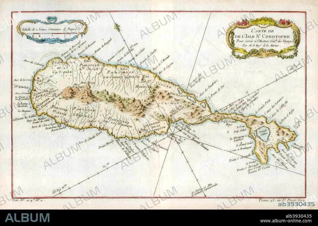
Map of the Caribbean island of St Christopher, c1764. Artist: Unknown
| Share |
|---|
 Pinterest Pinterest |
 Twitter Twitter |
 Facebook Facebook |
 Copy link Copy link |
 Email Email |
|
Add to another lightbox |
|
Add to another lightbox |


Buy this image.
Select the use:

Title:
Map of the Caribbean island of St Christopher, c1764. Artist: Unknown
Caption:
Map of the Caribbean island of St Christopher, c1764.
Credit:
Album / The Print Collector / Heritage Images
Releases:
Model: No - Property: No
Rights questions?
Rights questions?
Image size:
5141 x 3391 px | 49.9 MB
Print size:
43.5 x 28.7 cm | 17.1 x 11.3 in (300 dpi)
Keywords:
1 • 18TH CENTURY • 18TH CENTURY, THE • 18TH CENTURY. • 18TH • BRITAIN • BRITISH EMPIRE • BRITISH • CARIBBEAN • CARTOGRAPHY • CENTURY • COLONY • COLOR • COLOUR • COUNTRY • EIGHTEENTH CENTURY • ENGRAVING • FRANCE • FRENCH • GEOGRAFIA • GEOGRAPHICAL FEATURE • GEOGRAPHY • INDIES • ISLAND • LEEWARD ISLANDS • LESSER ANTILLES • LOCATION • MAP MAKING • MAP • MAP-MAKING • SAINT KITTS AND NEVIS • SEA • ST CHRISTOPHER • ST KITTS AND NEVIS • TOPOGRAPHICAL • TOPOGRAPHY • WEST INDIAN • WEST INDIES • XVIII CENTURY
