alb1651447
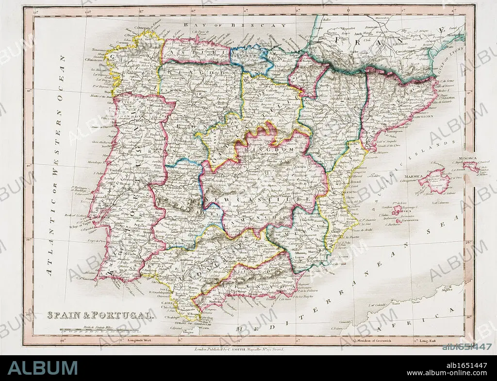
Map of Spain and Portugal from Smith's General Atlas published London 1850 by C. Smith Mapseller Number 172 The Strand.
| Share |
|---|
 Pinterest Pinterest |
 Twitter Twitter |
 Facebook Facebook |
 Copy link Copy link |
 Email Email |
|
Add to another lightbox |
|
Add to another lightbox |


Caption:
Map of Spain and Portugal from Smith's General Atlas published London 1850 by C. Smith Mapseller Number 172 The Strand
Credit:
Album / Universal History Archive/Universal Images Group
Releases:
Model: No - Property: No
Rights questions?
Rights questions?
Image size:
5259 x 3756 px | 56.5 MB
Print size:
44.5 x 31.8 cm | 17.5 x 12.5 in (300 dpi)
Keywords:
19TH CENTURY • 19TH • 19TH-CENTURY • ATLAS • CARTOGRAPHY • CENTURY • CITY OF LONDON • COLOR • COLOUR • GENERAL • HISTORIA UNIVERSAL • HISTORIA • HISTORIC • HISTORICAL • HISTORY • HORIZONTAL • IBERIA • IBERIAN • KEN • LONDON • LONDON. • MAP MAKING • MAP • MAPS • MAPSELLER • NINETEENTH • PENINSULA • PLAN (CARTOGRAPHY) • PORTUGAL • SMITH'S • SMITH • SPAIN • WELSH • XIX CENTURY
