alb1963200
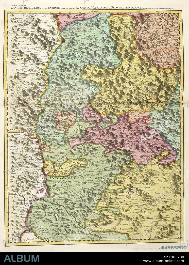
S SANSON. A map of inland landlocked countries in Europe. . Atlas Nouveau aÌ€ l’usage de MonseÌigneur le Duc de Bourgoyne. Amsterdam Netherlands 1700. Source: Maps 39.f.14 Map 200. Language: French.
| Share |
|---|
 Pinterest Pinterest |
 Twitter Twitter |
 Facebook Facebook |
 Copy link Copy link |
 Email Email |
|
Add to another lightbox |
|
Add to another lightbox |


Buy this image.
Select the use:

Author:
Caption:
A map of inland landlocked countries in Europe. . Atlas Nouveau aÌ€ l’usage de MonseÌigneur le Duc de Bourgoyne. Amsterdam Netherlands 1700. Source: Maps 39.f.14 Map 200. Language: French.
Credit:
Album / British Library
Releases:
Image size:
3798 x 5068 px | 55.1 MB
Print size:
32.2 x 42.9 cm | 12.7 x 16.9 in (300 dpi)
Keywords:
18TH CENTURY • 18TH CENTURY, THE • 18TH CENTURY. • 18TH • ATLAS • CARTOGRAPHY • DATE BY CENTURY OF WORK OR SCENE • EUROPA • EUROPE • MAP MAKING • MAP • MAPS • PLAN (CARTOGRAPHY) • SANSON, S • STYLE AND PERIOD • XVIII CENTURY
