alb5675993
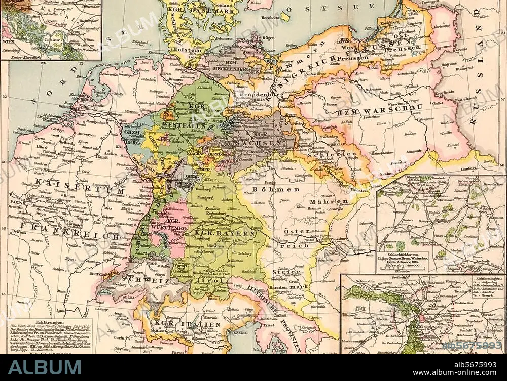
Map of Germany 1813-15
| Share |
|---|
 Pinterest Pinterest |
 Twitter Twitter |
 Facebook Facebook |
 Copy link Copy link |
 Email Email |
|
Add to another lightbox |
|
Add to another lightbox |


Title:
Map of Germany 1813-15
Caption:
Germany, maps. "Germany at the time of the wars of liberation". (Map showing political boundaries 1813-15). Colour print.
Technique/material:
PRINT (ART)
Credit:
Album / akg-images
Releases:
Model: No - Property: No
Rights questions?
Rights questions?
Image size:
3364 x 2354 px | 22.7 MB
Print size:
28.5 x 19.9 cm | 11.2 x 7.8 in (300 dpi)
Keywords:
19 CENTURY • 19TH CENTURY • 19TH • 19TH-CENTURY • 2ND MILLENNIUM A. D. • GEOGRAPHY • GERMANY • MAP • MAPS • NINETEENTH CENTURY • PLAN (CARTOGRAPHY) • PRINT (ART) • TOPOGRAPHY • XIX CENTURY
