alb3549119
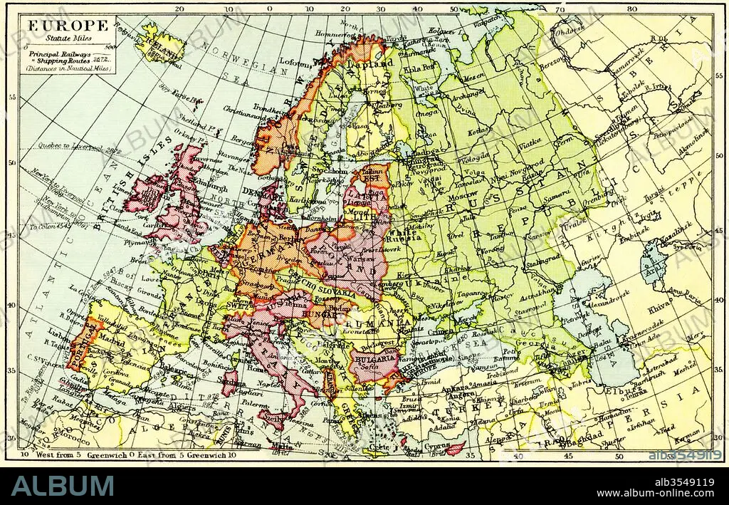
A 1930's map of Europe
| Share |
|---|
 Pinterest Pinterest |
 Twitter Twitter |
 Facebook Facebook |
 Copy link Copy link |
 Email Email |
|
Add to another lightbox |
|
Add to another lightbox |


Buy this image.
Select the use:

Title:
A 1930's map of Europe
Caption:
A 1930's map of Europe.
Credit:
Album / Universal Images Group / Universal History Archive
Releases:
Model: No - Property: No
Rights questions?
Rights questions?
Image size:
5344 x 3426 px | 52.4 MB
Print size:
45.2 x 29.0 cm | 17.8 x 11.4 in (300 dpi)
Keywords:
1930'S • 20 20TH XX XXTH TWENTIETH CENTURY • 20 XX TWENTIETH CENTURY • 20TH CENTURY • 20TH • CENTURY • COUNTRIES • COUNTRY • EUROPA • EUROPE • EUROPEA • EUROPEAN • EUROPEANS • GEOGRAFIA • GEOGRAPHICAL • GEOGRAPHY • HISTORIA UNIVERSAL • HISTORIA • HISTORICAL • HISTORY • HISTORY. • ILLUSTRATION • ILLUSTRATIONS • MAP • MAPS • NINETEEN • PLAN (CARTOGRAPHY) • THIRTIES • TWENTIETH CENTURY • TWENTIETH
