alb8349195
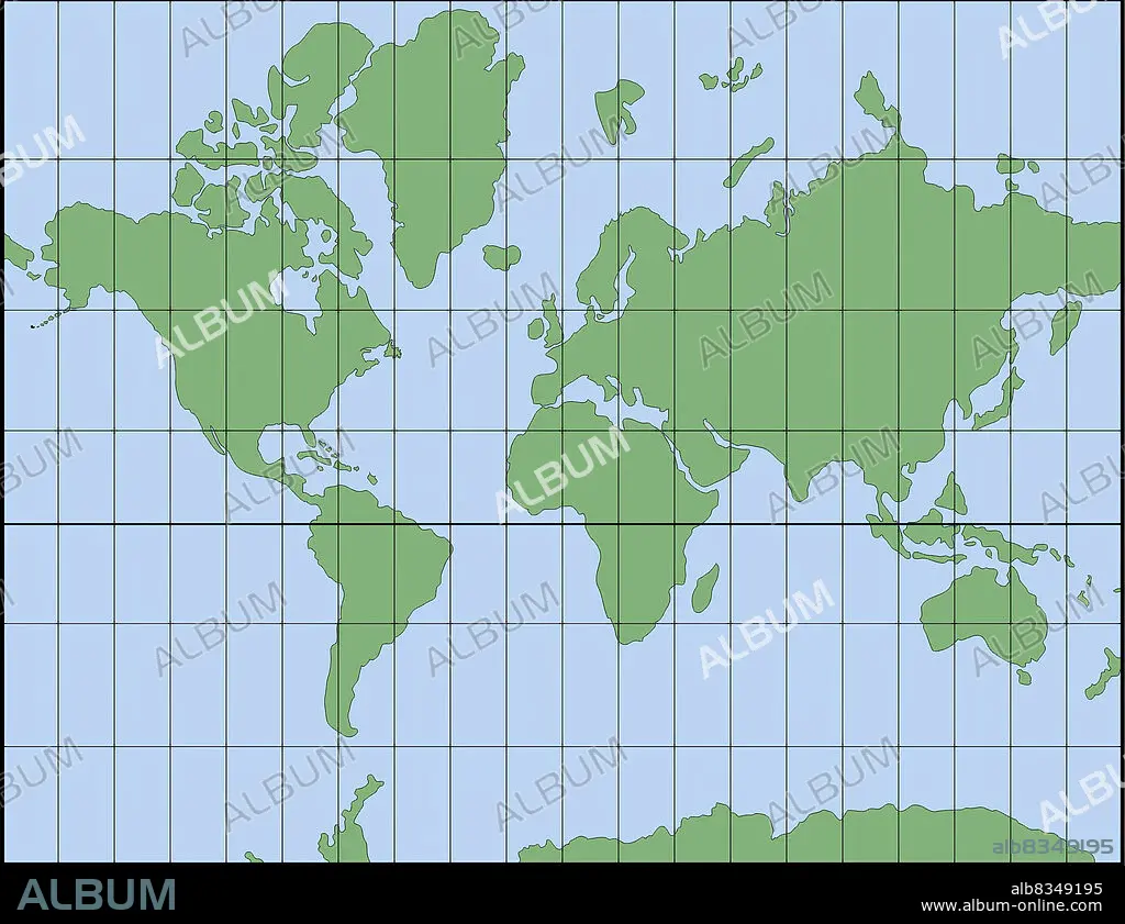
Invented in 1569 by the Dutch geographer Gerard Mercator, the Mercator projection compensates for the eastwest distortion with an equivalent southnorth distortion of the polar regions. Because of this, the Mercator projection preserves the right angles between the parallels and meridians, and is therefore still one of the most frequently used systems for navigation. However, the correction causes some areas, especially those close to the poles, to appear larger.
| Share |
|---|
 Pinterest Pinterest |
 Twitter Twitter |
 Facebook Facebook |
 Copy link Copy link |
 Email Email |
|
Add to another lightbox |
|
Add to another lightbox |


Buy this image.
Select the use:

Caption: Invented in 1569 by the Dutch geographer Gerard Mercator, the Mercator projection compensates for the eastwest distortion with an equivalent southnorth distortion of the polar regions. Because of this, the Mercator projection preserves the right angles between the parallels and meridians, and is therefore still one of the most frequently used systems for navigation. However, the correction causes some areas, especially those close to the poles, to appear larger.
Credit: Album / Universal Images Group
Releases: ? Model Release: No - ? Property Release: No
Rights questions?
Rights questions?
Image size: 3159 × 2430 px | 22.0 MB
Print size: 26.7 × 20.6 cm | 1243.7 × 956.7 in (300 dpi)
Keywords: 51400 • COLOR • COLOUR • CYLINDRICAL PROJECTION • EARTH • FLUSH • GEOGRAFIA • GEOGRAPHY • ILLUSTRATION • ILLUSTRATIONS • ILUSTRATION • MAP PROJECTION • MERCATOR PROJECTION
