alb4715002
Carte SAINTES
| Share |
|---|
 Pinterest Pinterest |
 Twitter Twitter |
 Facebook Facebook |
 Copy link Copy link |
 Email Email |
|
Add to another lightbox |
|
Add to another lightbox |


Buy this image.
Select the use:

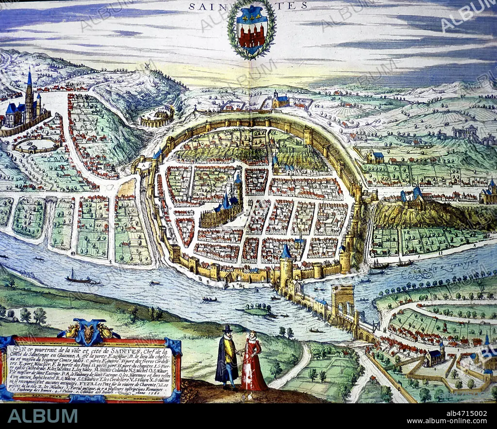
Title: Carte SAINTES
Caption: See automatic translation
La ville de SAINTES, gravure coloriee de 1560. 16eme siecle. Carte ou plan. Collection Lallement de Betz XX . Credit Collection JEAN VIGNE/ KHARBINE TAPABOR
La ville de SAINTES, gravure coloriee de 1560. 16eme siecle. Carte ou plan. Collection Lallement de Betz XX . Credit Collection JEAN VIGNE/ KHARBINE TAPABOR
Credit: Album / JEAN VIGNE/ KHARBINE-TAPABOR
Releases: ? Model Release: No - ? Property Release: No
Rights questions?
Rights questions?
Image size: 2935 × 2381 px | 20.0 MB
Print size: 24.8 × 20.2 cm | 1155.5 × 937.4 in (300 dpi)
Keywords: BAS-RELIEF • EMBOSSED • FRANCE • FRANCE. • FRANCIA • FRANKREICH • FRENCH • LA FRANCE • MAP • MAPS • PLAN (CARTOGRAPHY) • RELIEF • RELIEFS • RELIEVE • SUNKEN RELIEF
