alb3821308
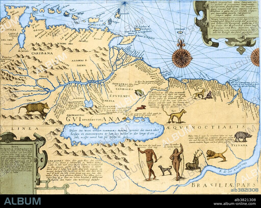
Map of El Dorado and the Amazon, 16th Century

|
Add to another lightbox |
|
Add to another lightbox |


Buy this image.
Select the use:

Title:
Map of El Dorado and the Amazon, 16th Century
Caption:
Map of Guyana and Brazil showing the Amazon river, wild animals, a headless man "of the land Ewaipanoma," an Amazon woman, and the fictitious Lake Parime, on the north shore of which is located the city of El Dorado. El Dorado was the legendary "Lost City of Gold" that fascinated explorers since the days of the Spanish Conquistadors and was supposedly located on the legendary Lake Parime in the highlands of Guyana. This map is adapted from a slightly earlier map by Jodocus Hondius, although the title states that the map was 'surveyed and drawn by a sailor who accompanies Walter Raleigh on his voyage' (of 1595).
Credit:
Album / Science Source / Getty Research Institute
Releases:
Model: No - Property: No
Rights questions?
Rights questions?
Image size:
5315 x 3951 px | 60.1 MB
Print size:
45.0 x 33.5 cm | 17.7 x 13.2 in (300 dpi)
Keywords:
1500S • 16 16TH XVI XVITH SIXTEENTH CENTURY • 16 CENTURY • 16TH CENTURY • 16TH • ALTAS • AMAZON RIVER • AMAZON WOMAN • AMAZON • AMAZONIAN • ANTIQUE MAP • ART • ARTWORK • BRAZIL • CANNIBAL • COAST • COLONIAL • COLOR • DORADO • DRAWING • EL DORADO • ENGRAVING • ENHANCE • ENHANCEMENT • EWAIPANOMA • FICTITIOUS • GRENADA • GUYANA • HEADLESS MAN • HISTORIC • HISTORICAL • HISTORY • INDIGENOUS • LAKE PARIME • LEGENDARY • LOST CITY OF GOLD • MAP • MYTHICAL • OLD MAP • PARIME • SOUTH AMERICA • TOBAGO • TRINIDAD AND TOBAGO • TRINIDAD • TRINITY • WEST INDIES • WILD ANIMALS • XVI CENTURY
 Pinterest
 Twitter
 Facebook
 Copy link
 Email
Email
